Photo corners
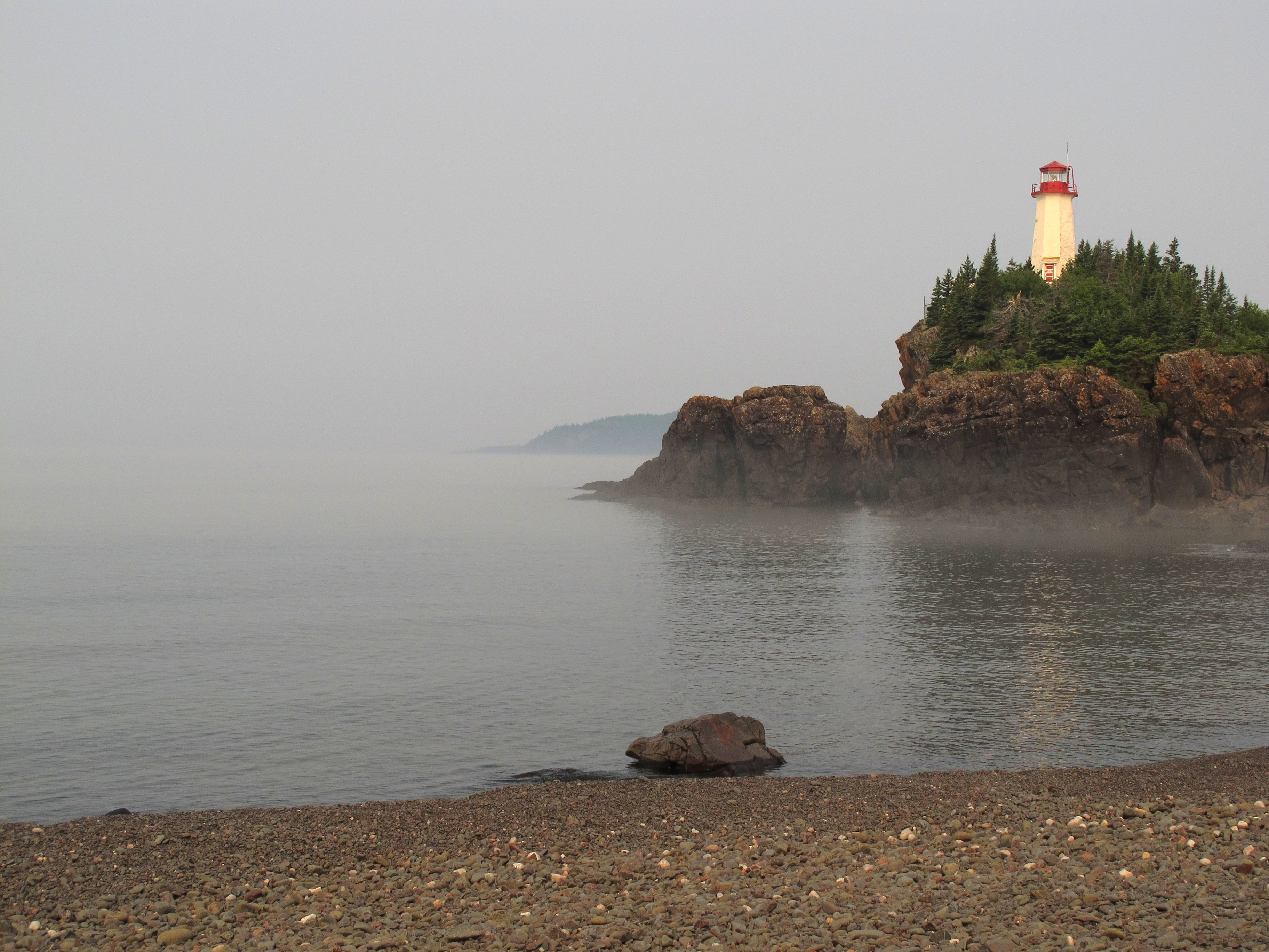
Battle Island Light
Ontario, Canada
Battle Island Light is a lighthouse on the Canadian shore of Lake Superior. It is located on the westerly point of Battle Island, 28.5 miles (45.9 km) east-northeast from Lamb Island Light. It was built as a white light, visible for 18 miles (29 km) in clear weather. When built, it operated as a bright flash, four-second interval, bright flash, four-second interval, and then bright flash, 16-second interval, with a concurrent lower-strength light operating at 12-seconds constant/ 12 seconds eclipsed. Its fog horn (originally referred to as a "fog diaphone") blasted for 3½ seconds and was then silent for 26½ seconds. The lighthouse was rebuilt in 1915–16 in response to increased demand from local wood pulp carriers and commercial fishing boats.
- Category
- Photo Spots
- Location
- Ontario, Canada
- Coordinates
- 48.75170, -87.55670
- How to get there
- Google MapsApple MapsOpenStreetMap
- Wikidata
- Q4870063
What is Battle Island Light?
Battle Island Light is a Photo Spots place on VeroMaps. Other places close by: Minong Mine Historic District, The Hoito, Copper Harbor Light.
Where is Battle Island Light?
Battle Island Light is in Ontario, Canada. Coordinates: 48.75170, -87.55670.
How do I get to Battle Island Light?
Battle Island Light is at Ontario, Canada (48.75170, -87.55670). Enter these coordinates in Google Maps, Apple Maps or OpenStreetMap for walking, cycling or driving directions.