Urbex & Abandoned
Minesota Mine
Michigan, United States
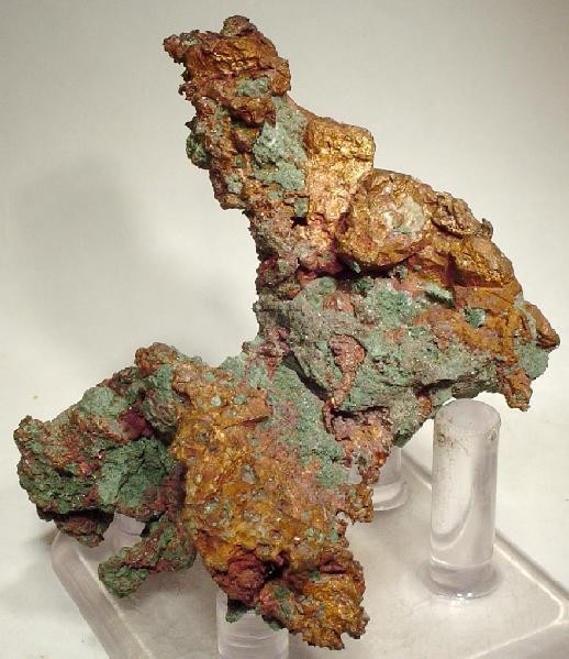
The Minesota Mine is a former copper mine near Rockland, Ontonagon County in the Upper Peninsula of the U.S. state of Michigan. The Minesota (the single "n" in the name was a mistake in the original incorporation papers) was one of the most productive and famous early mines in the Michigan Copper Country.
- Category
- Urbex & Abandoned
- Location
- Michigan, United States
- Coordinates
- 46.72993, -89.17493
- How to get there
- Google MapsApple MapsOpenStreetMap
- Wikidata
- Q6864549
What is Minesota Mine?
Minesota Mine is a Urbex & Abandoned place on VeroMaps. Other places close by: Champion Mining Company, Lieblein House, Quincy Mine, Ironwood Theatre.
Where is Minesota Mine?
Minesota Mine is in Michigan, United States. Coordinates: 46.72993, -89.17493.
How do I get to Minesota Mine?
Minesota Mine is at Michigan, United States (46.72993, -89.17493). Enter these coordinates in Google Maps, Apple Maps or OpenStreetMap for walking, cycling or driving directions.