Urbex & Abandoned
Korberoth
Frankenblick, Germany
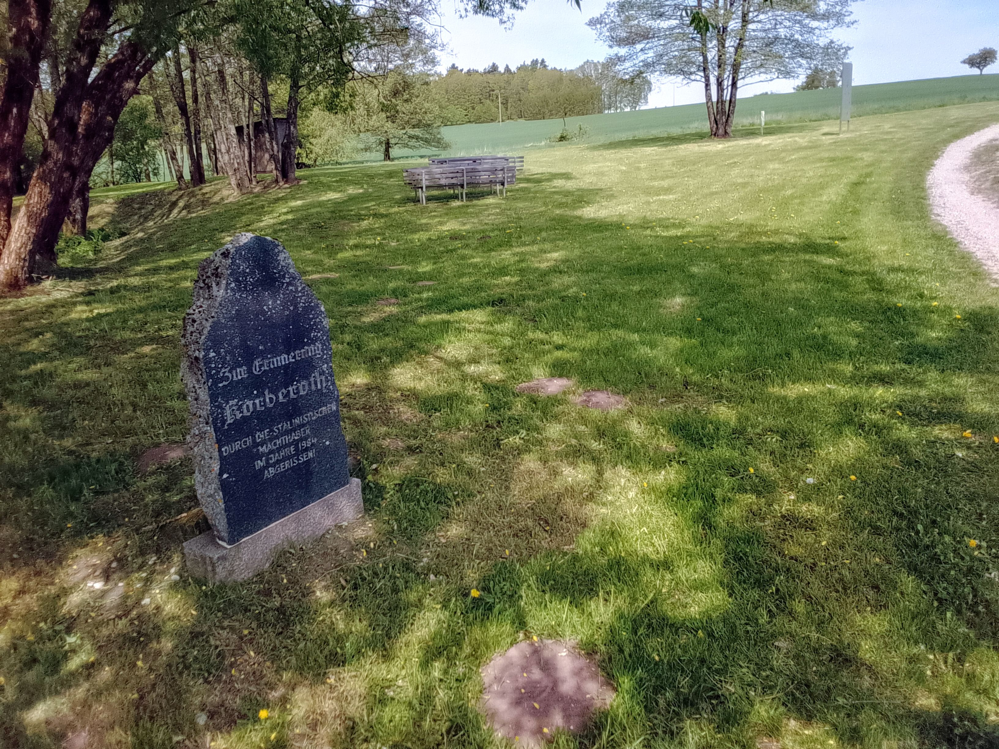
Korberoth was a small village near Frankenblick, in the Sonneberg district of Thuringia, Germany. The village was first documented in 1334 as Cubenrode. In 1910, the village had a population of 21. The village was located near the Inner German border and was thus, for exaggerated border security measures, completely destroyed in 1984 after the residents were forcibly relocated in 1970. After the border opened and the no man's land was accessible again in 1989 (Peaceful Revolution and German reunification), a memorial stone was erected in 1991 were the seven houses stood before destruction. An annual service in september commemorates the events.
- Category
- Urbex & Abandoned
- Location
- Frankenblick, Germany
- Coordinates
- 50.35910, 11.07820
- How to get there
- Google MapsApple MapsOpenStreetMap
- Wikidata
- Q1502480
What is Korberoth?
Korberoth is a Urbex & Abandoned place on VeroMaps. Other places close by: Talbrücke Froschgrundsee, Grümpental Bridge, Burg Lauterburg, Burg Sonneberg.
Where is Korberoth?
Korberoth is in Frankenblick, Germany. Coordinates: 50.35910, 11.07820.
How do I get to Korberoth?
Korberoth is at Frankenblick, Germany (50.35910, 11.07820). Enter these coordinates in Google Maps, Apple Maps or OpenStreetMap for walking, cycling or driving directions.