Photo corners
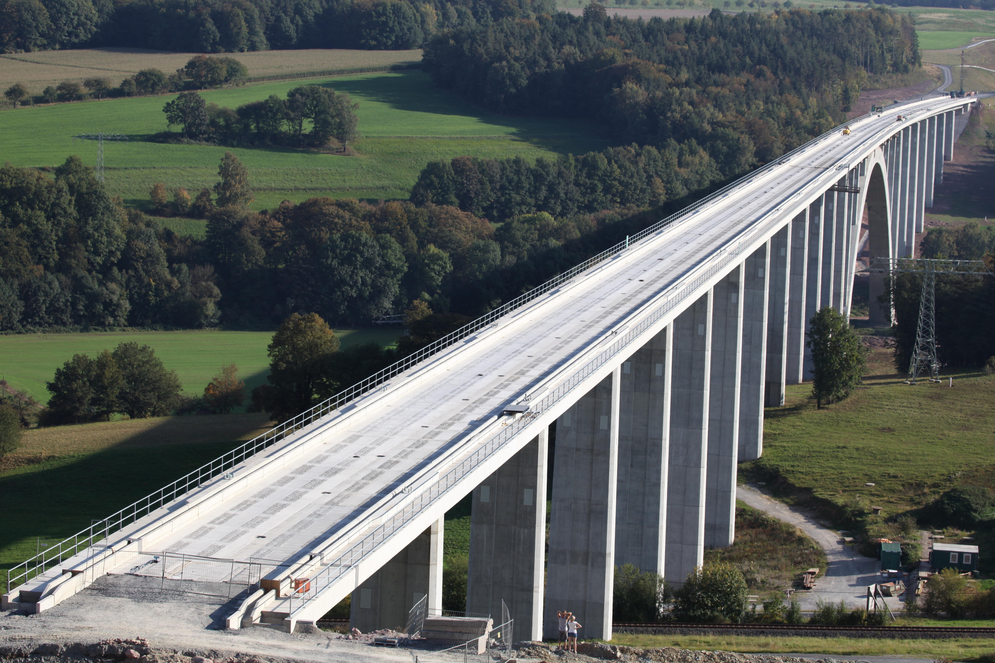
Grümpental Bridge
Schalkau, Germany
Die Grümpentalbrücke ist ein 1104 m langes zweigleisiges Eisenbahnüberführungsbauwerk der Neubaustrecke Ebensfeld–Erfurt zwischen Streckenkilometer 120,161 und 121,265.
- Category
- Photo Spots
- Location
- Schalkau, Germany
- Coordinates
- 50.38998, 11.03402
- How to get there
- Google MapsApple MapsOpenStreetMap
- Wikidata
- Q1550349
What is Grümpental Bridge?
Grümpental Bridge is a Photo Spots place on VeroMaps. Other places close by: Burg Schaumberg, Talbrücke Truckenthal, Talbrücke Froschgrundsee, Korberoth.
Where is Grümpental Bridge?
Grümpental Bridge is in Schalkau, Germany. Coordinates: 50.38998, 11.03402.
How do I get to Grümpental Bridge?
Grümpental Bridge is at Schalkau, Germany (50.38998, 11.03402). Enter these coordinates in Google Maps, Apple Maps or OpenStreetMap for walking, cycling or driving directions.