Urbex & Abandoned
Burg Lauterburg
Rödental, Germany
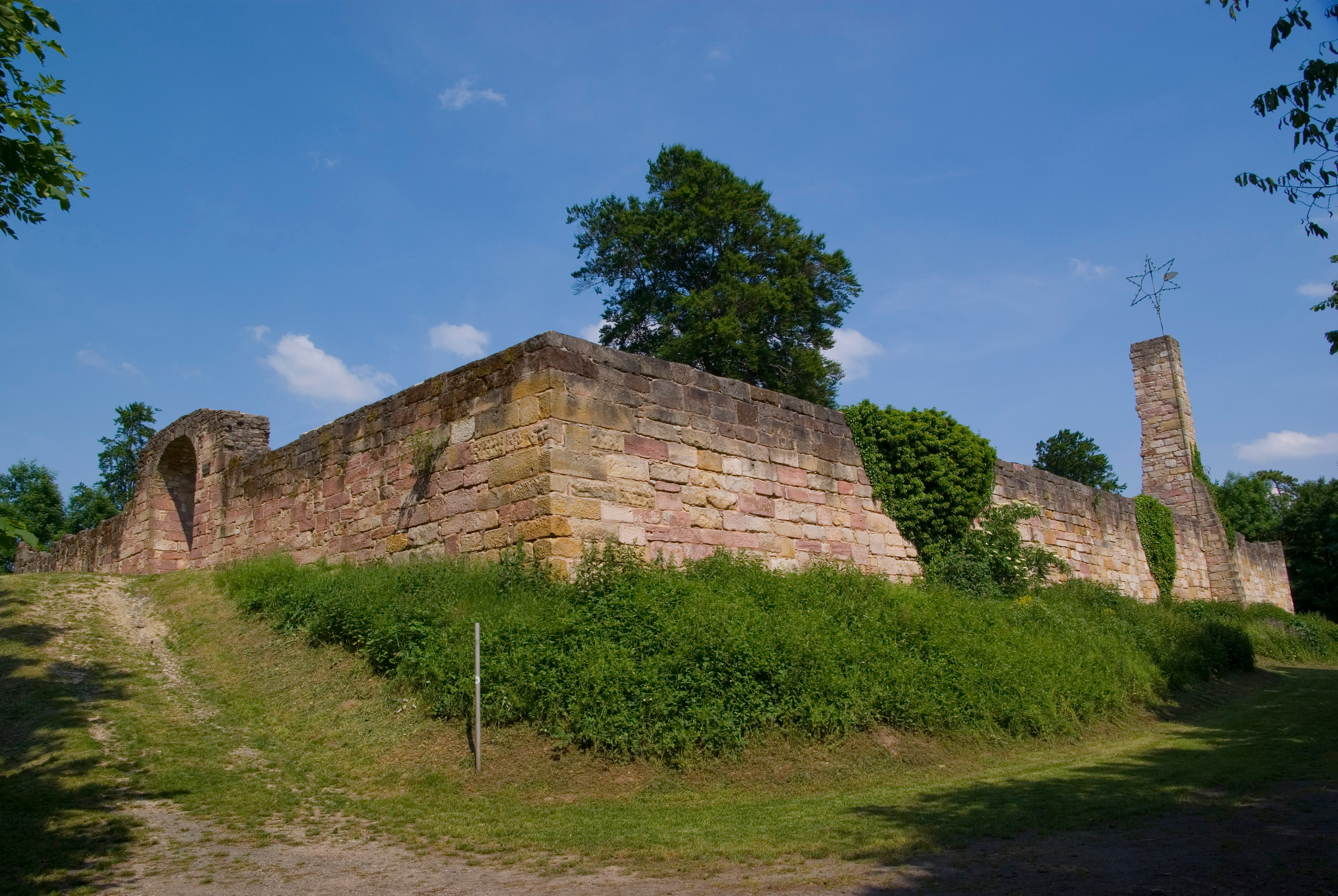
The Lauterburg castle ruins are located on the edge of Oberwohlsbach (Rödental) on the Spitzberg, an extension of the Thuringian Forest on the southern slope of the Hohe Schwenge in the Coburg region. The castle, founded around 1700, was built on a hillside castle founded around 1150.
- Category
- Urbex & Abandoned
- Location
- Rödental, Germany
- Coordinates
- 50.31720, 11.01830
- How to get there
- Google MapsApple MapsOpenStreetMap
- Wikidata
- Q1808644
What is Burg Lauterburg?
Burg Lauterburg is a Urbex & Abandoned place on VeroMaps. Other places close by: Schloss Rosenau, Talbrücke Froschgrundsee, Korberoth, Schloss Falkenegg.
Where is Burg Lauterburg?
Burg Lauterburg is in Rödental, Germany. Coordinates: 50.31720, 11.01830.
How do I get to Burg Lauterburg?
Burg Lauterburg is at Rödental, Germany (50.31720, 11.01830). Enter these coordinates in Google Maps, Apple Maps or OpenStreetMap for walking, cycling or driving directions.