Photo corners
Inselbrücke
Bezirk Mitte, Germany
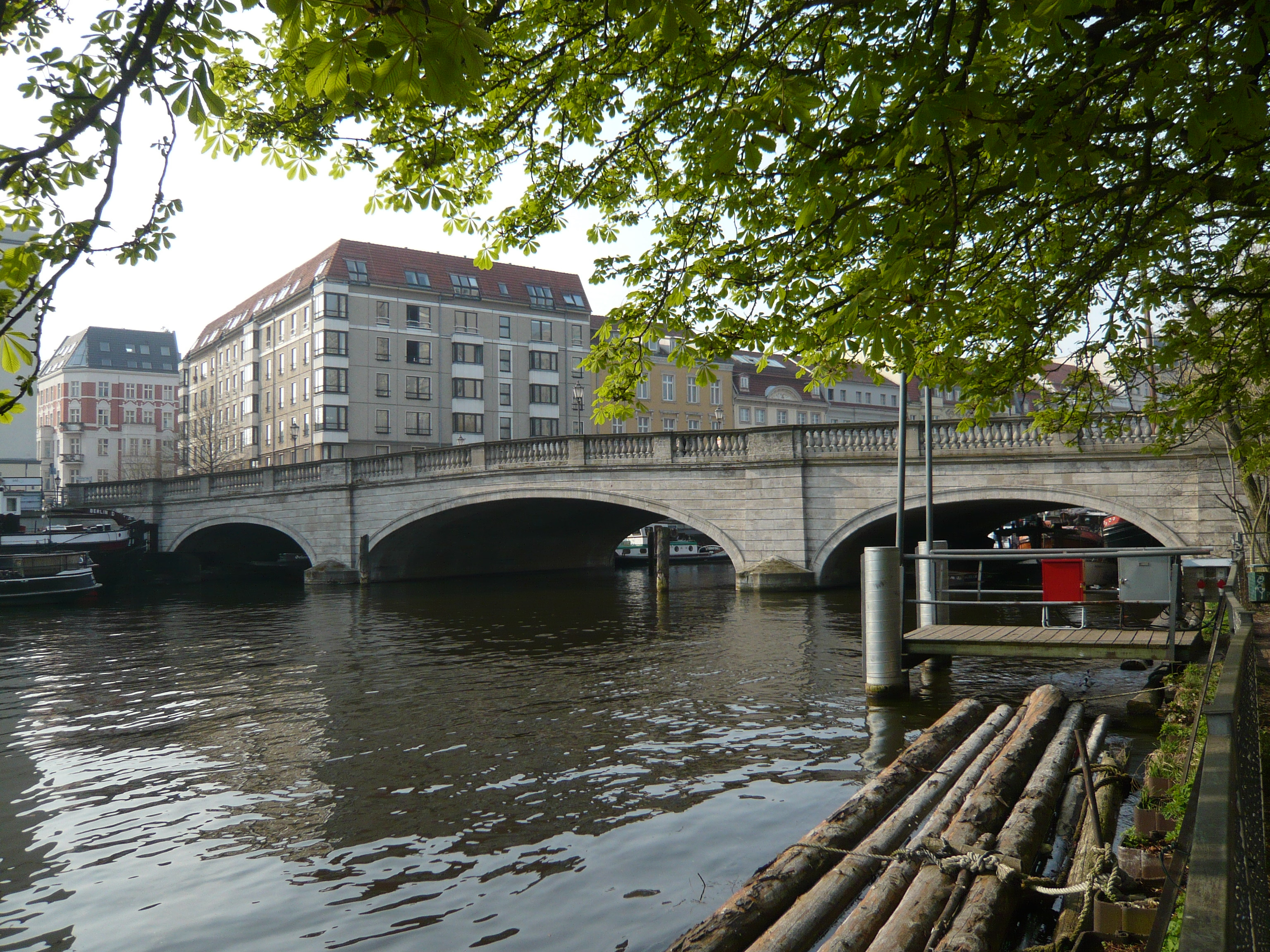
Die Inselbrücke ist eine seit dem 17. Jahrhundert bestehende Straßenbrücke über den westlichen Spreearm. Sie ist in Stromrichtung die erste Brücke an der Spreeinsel und befindet sich im Einzugsbereich des historischen Berliner Hafens. Die heutige steinerne Gewölbebrücke stammt aus den Jahren 1912–1913, gebaut nach Plänen von Ludwig Hoffmann und Stadtbaurat Krause und steht unter Denkmalschutz.
- Category
- Photo Spots
- Location
- Bezirk Mitte, Germany
- Coordinates
- 52.51340, 13.41060
- How to get there
- Google MapsApple MapsOpenStreetMap
- Wikidata
- Q1410532
What is Inselbrücke?
Inselbrücke is a Photo Spots place on VeroMaps. Other places close by: Roßstraßenbrücke, Großgaststätte Ahornblatt, Wusterhausener Bär, Waisen Bridge.
Where is Inselbrücke?
Inselbrücke is in Bezirk Mitte, Germany. Coordinates: 52.51340, 13.41060.
How do I get to Inselbrücke?
Inselbrücke is at Bezirk Mitte, Germany (52.51340, 13.41060). Enter these coordinates in Google Maps, Apple Maps or OpenStreetMap for walking, cycling or driving directions.