Photo corners
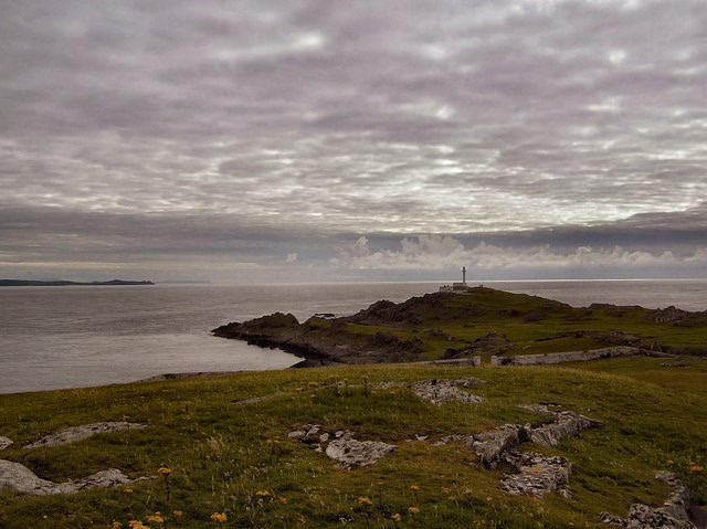
Inishtrahull Lighthouse
Carndonagh, Ireland
Inishtrahull Lighthouse is the northerly most lighthouse in Ireland located on the Inishtrahull Island off the coast of County Donegal. Coupled with the lighthouse on Tory Island they form the two main landfall lights for shipping from the Atlantic rounding the north coast of Ireland, and navigation to local shipping.
- Category
- Photo Spots
- Location
- Carndonagh, Ireland
- Coordinates
- 55.43010, -7.24190
- How to get there
- Google MapsApple MapsOpenStreetMap
- Wikidata
- Q15228693
What is Inishtrahull Lighthouse?
Inishtrahull Lighthouse is a Photo Spots place on VeroMaps. Other places close by: Carrickabraghy Castle, Fanad Head Light, Inishowen Lighthouse, Dunree Head lighthouse.
Where is Inishtrahull Lighthouse?
Inishtrahull Lighthouse is in Carndonagh, Ireland. Coordinates: 55.43010, -7.24190.
How do I get to Inishtrahull Lighthouse?
Inishtrahull Lighthouse is at Carndonagh, Ireland (55.43010, -7.24190). Enter these coordinates in Google Maps, Apple Maps or OpenStreetMap for walking, cycling or driving directions.