Urbex & Abandoned
Claudy bombing
Eglinton, United Kingdom
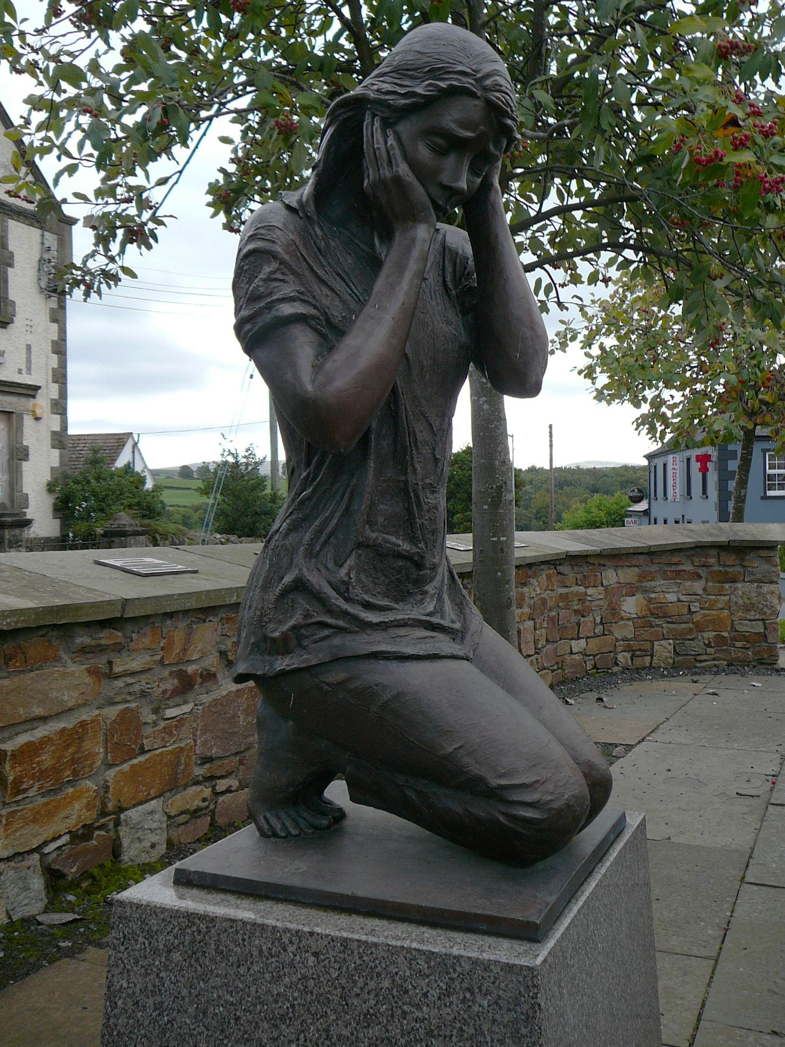
The Claudy bombing occurred on 31 July 1972, when three car bombs exploded mid-morning, two on Main Street and one on Church Street in Claudy in County Londonderry, Northern Ireland. The attack killed nine civilians, injured thirty and became known as "Bloody Monday". Those who planted the bombs had attempted to send a warning before the explosions took place. The warning was delayed, however, because the telephones were out of order due to an earlier bomb attack. The Provisional Irish Republican Army (IRA) issued an immediate denial of responsibility, and later stated that "an internal court of inquiry" had found that its local unit did not carry out the attack. On the thirtieth anniversary of the bombing, there was a review of the case and in December 2002 the IRA was linked to the bomb explosions, although no charges were made. On 24 August 2010, following an eight-year investigation, the Police Ombudsman for Northern Ireland published a report into the bombing, which stated that the Royal Ulster Constabulary (RUC) believed in the early 1970s that Fr James Chesney, a local Catholic priest, was the IRA's quartermaster and Director of Operations of the South Derry Brigade. The report found that the possibility of his involvement in activities including the Claudy bombing was covered up by senior police officers, government ministers and the Roman Catholic hierarchy.
- Category
- Urbex & Abandoned
- Location
- Eglinton, United Kingdom
- Coordinates
- 54.91140, -7.15472
- How to get there
- Google MapsApple MapsOpenStreetMap
- Wikidata
- Q5129487
What is Claudy bombing?
Claudy bombing is a Urbex & Abandoned place on VeroMaps. Other places close by: Raphoe Castle, Tirnony Dolmen, Buncrana Lighthouse, Inishowen Lighthouse.
Where is Claudy bombing?
Claudy bombing is in Eglinton, United Kingdom. Coordinates: 54.91140, -7.15472.
How do I get to Claudy bombing?
Claudy bombing is at Eglinton, United Kingdom (54.91140, -7.15472). Enter these coordinates in Google Maps, Apple Maps or OpenStreetMap for walking, cycling or driving directions.