Forgotten History
Carrickabraghy Castle
Carndonagh, Ireland
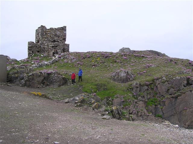
Carrickabraghy Castle (Irish: Caisleán Charraig Bhrachaí stands in the townland of Carrickabraghy meaning "Friars Rock" in Irish) on a rocky outcrop at the north-western extremity of the Isle of Doagh, at the head of Pollan Bay, in the north of Inishowen, a peninsula on the north coast of County Donegal, Ireland. The townland and its castle are located in the Parish of Clonmany in the Barony of Inishowen East. Known as 'The Castles', the site is of local historical importance.
- Category
- Forgotten History
- Location
- Carndonagh, Ireland
- Coordinates
- 55.31633, -7.37267
- How to get there
- Google MapsApple MapsOpenStreetMap
- Wikidata
- Q3644626
What is Carrickabraghy Castle?
Carrickabraghy Castle is a Forgotten History place on VeroMaps. Other places close by: Inishtrahull Lighthouse, Fanad Head Light, Dunree Head lighthouse, Buncrana Lighthouse.
Where is Carrickabraghy Castle?
Carrickabraghy Castle is in Carndonagh, Ireland. Coordinates: 55.31633, -7.37267.
How do I get to Carrickabraghy Castle?
Carrickabraghy Castle is at Carndonagh, Ireland (55.31633, -7.37267). Enter these coordinates in Google Maps, Apple Maps or OpenStreetMap for walking, cycling or driving directions.