Forgotten History
Hoeve Einrade
Kerkrade, Netherlands
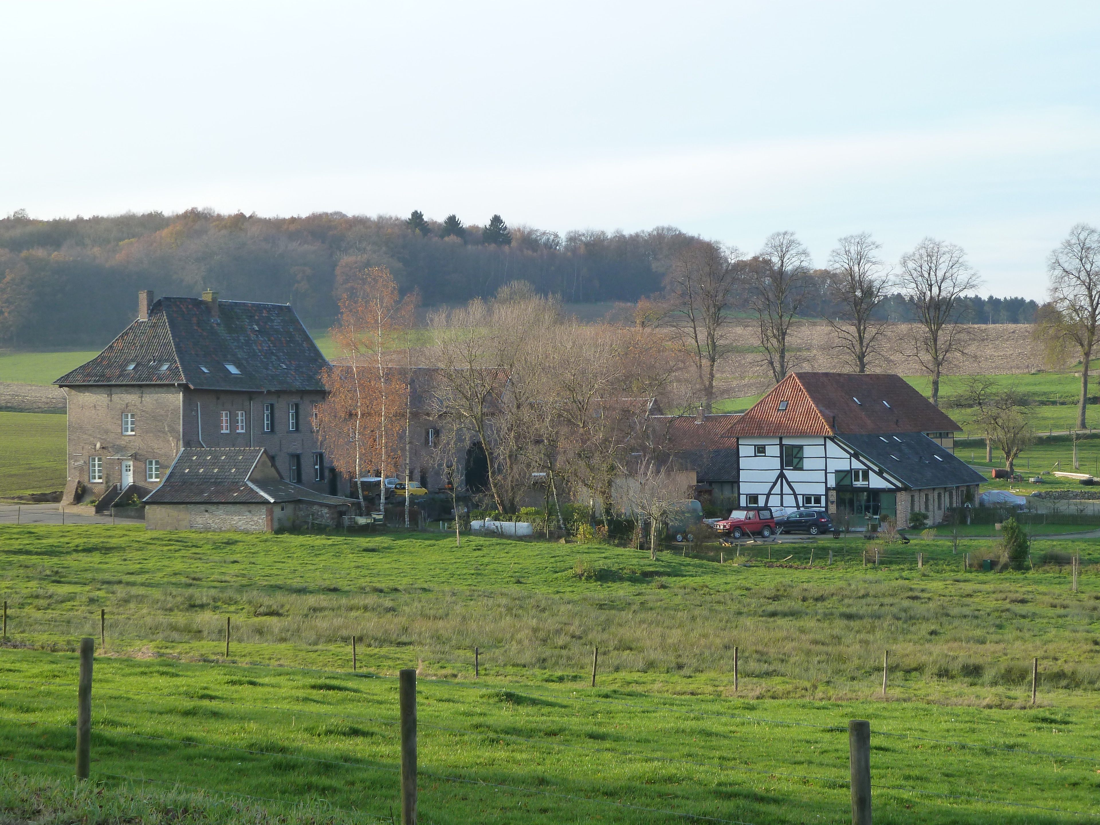
Einrade is a farm and former castle in the Dutch village of Holset, province of Limburg. Einrade was also a manor with low jurisdiction from the Middle Ages until the French period. The castle itself has completely disappeared, but the castle farm has been preserved and is classified as a national monument.
- Category
- Forgotten History
- Location
- Kerkrade, Netherlands
- Address
- Holset 51, Kerkrade
- Coordinates
- 50.77393, 5.97758
- How to get there
- Google MapsApple MapsOpenStreetMap
- Wikidata
- Q17445065
What is Hoeve Einrade?
Hoeve Einrade is a Forgotten History place on VeroMaps, on Holset 51. Other places close by: HH. Lambertus en Genovevakerk, Vaalsbroek Castle, Sint-Catharina en Luciakerk, Groeve Zeven Wegen.
Where is Hoeve Einrade?
Hoeve Einrade is in Kerkrade, Netherlands. Coordinates: 50.77393, 5.97758.
How do I get to Hoeve Einrade?
Hoeve Einrade is at Holset 51, Kerkrade, Netherlands (50.77393, 5.97758). Enter these coordinates in Google Maps, Apple Maps or OpenStreetMap for walking, cycling or driving directions.