Forgotten History
Kasteelmolen
Oud Lemiers, Netherlands
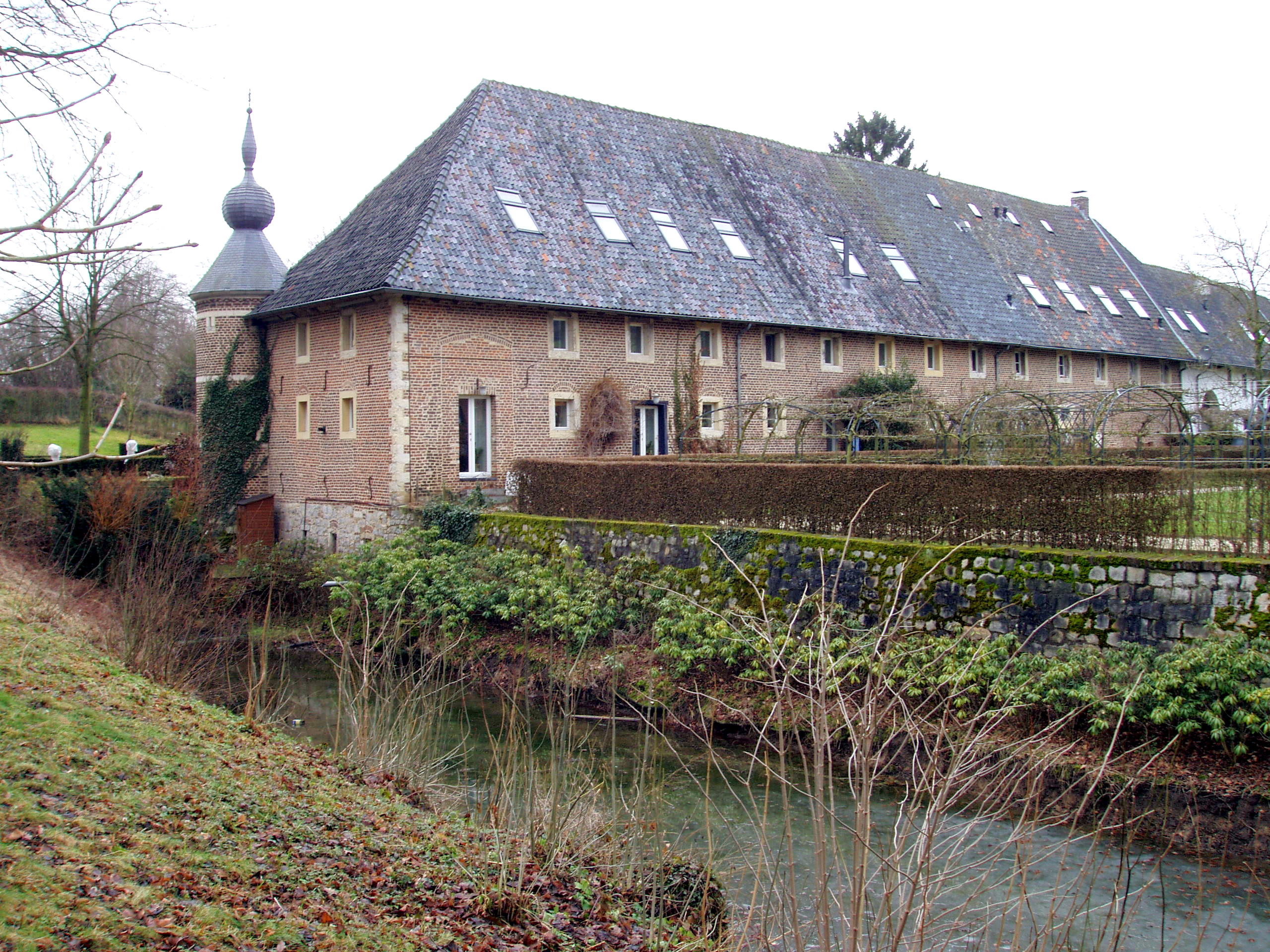
The Kasteelmolen was a water mill in Lemiers in the Dutch South Limburg municipality of Vaals. The watermill was located in the building complex of Lemiers Castle. The location of the estate was referred to as "Aan de Molenweg" until the early 19th century. The mill was located in the right part of the castle farm, with a round tower with an onion on the corner.
- Category
- Forgotten History
- Location
- Oud Lemiers, Netherlands
- Coordinates
- 50.78888, 5.99442
- How to get there
- Google MapsApple MapsOpenStreetMap
- Wikidata
- Q7477338
What is Kasteelmolen?
Kasteelmolen is a Forgotten History place on VeroMaps. Other places close by: Lemiers Castle, Sint-Catharina en Luciakerk, Burg Orsbach, HH. Lambertus en Genovevakerk.
Where is Kasteelmolen?
Kasteelmolen is in Oud Lemiers, Netherlands. Coordinates: 50.78888, 5.99442.
How do I get to Kasteelmolen?
Kasteelmolen is at Oud Lemiers, Netherlands (50.78888, 5.99442). Enter these coordinates in Google Maps, Apple Maps or OpenStreetMap for walking, cycling or driving directions.