Forgotten History
Eperhuis
Valkenburg, Netherlands
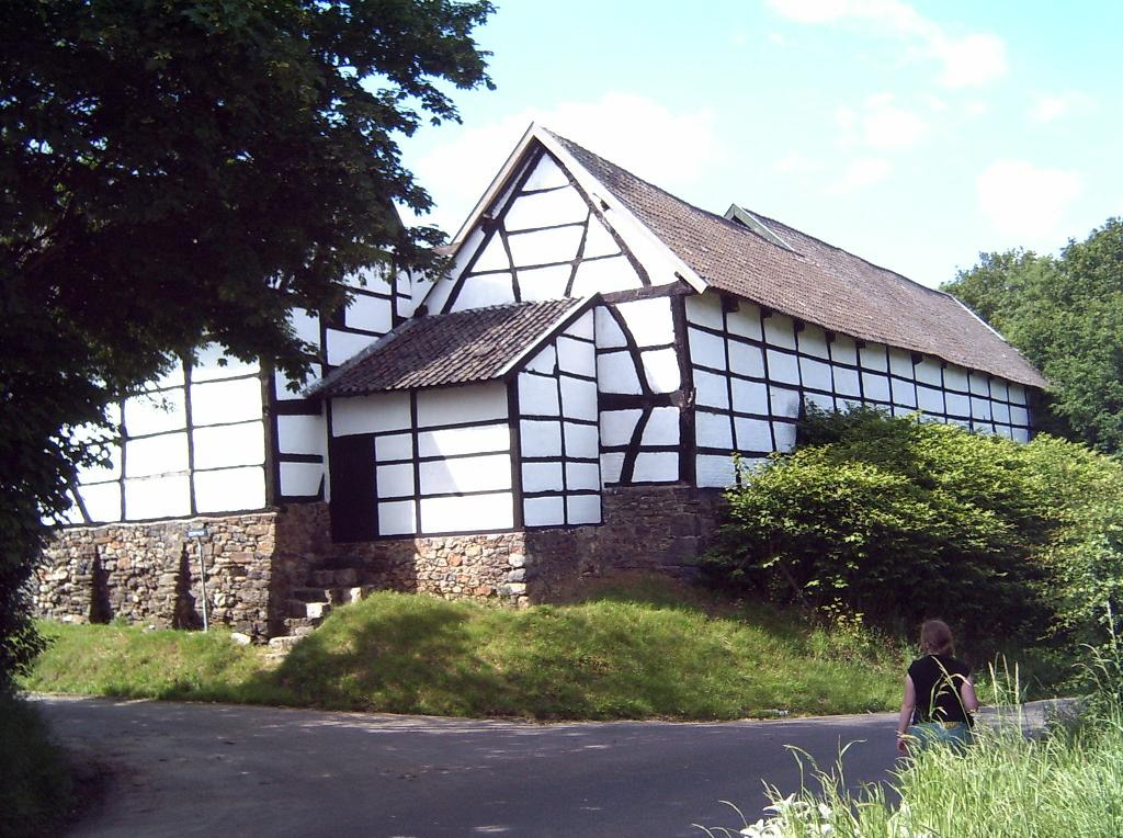
The Eperhuis or Dorpshof is a large farm with a courtyard in the hamlet of Plaat south of Epen in Limburg. The building dates from the 18th century, but there was probably a castle or residential tower there in the Middle Ages. Now only the farm remains, which is seen as the farm of the disappeared castle. The current farm has three wings around an elongated courtyard that opens to the north.
- Category
- Forgotten History
- Location
- Valkenburg, Netherlands
- Address
- Dorphof 2, Valkenburg
- Coordinates
- 50.77053, 5.91466
- How to get there
- Google MapsApple MapsOpenStreetMap
- Wikidata
- Q2092652
What is Eperhuis?
Eperhuis is a Forgotten History place on VeroMaps, on Dorphof 2. Other places close by: Calvariekapel, Sint-Genovevakapel, Geologisch monument Terziet, Kapelanie Epen.
Where is Eperhuis?
Eperhuis is in Valkenburg, Netherlands. Coordinates: 50.77053, 5.91466.
How do I get to Eperhuis?
Eperhuis is at Dorphof 2, Valkenburg, Netherlands (50.77053, 5.91466). Enter these coordinates in Google Maps, Apple Maps or OpenStreetMap for walking, cycling or driving directions.