Photo corners
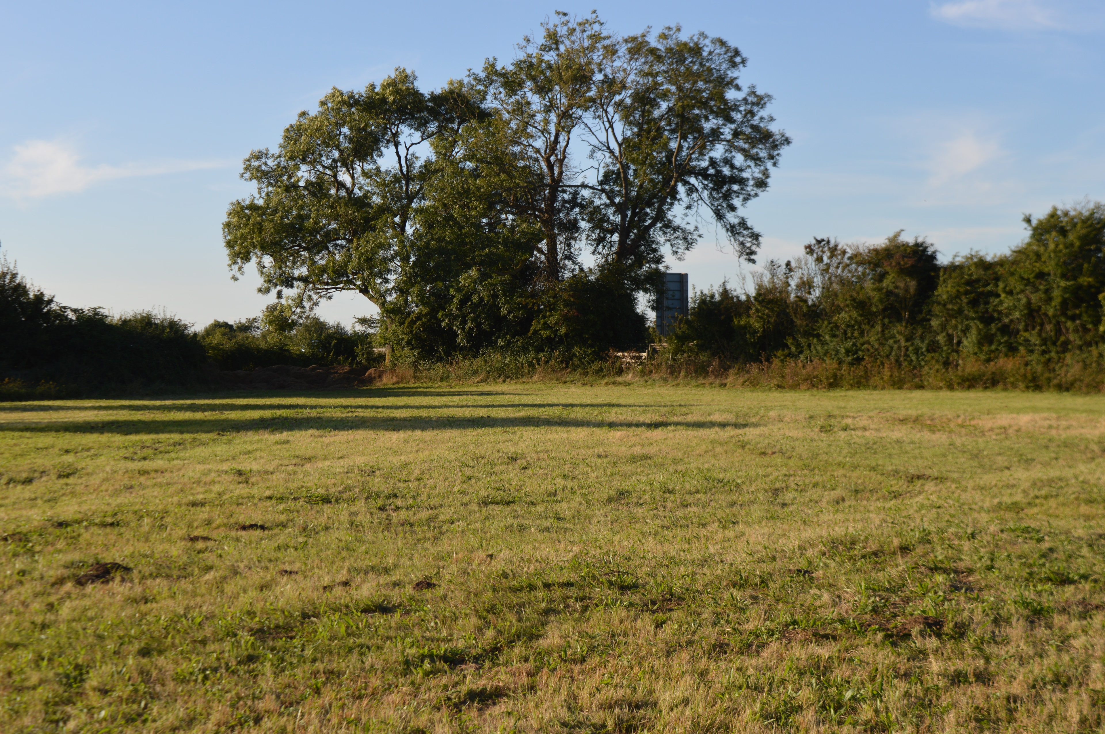
Hemingford Grey Meadow
Hemingford Grey, United Kingdom
Hemingford Grey Meadow is a 0.7-hectare (1.7-acre) biological Site of Special Scientific Interest south of Hemingford Grey in Cambridgeshire. It is managed by the Wildlife Trust for Bedfordshire, Cambridgeshire and Northamptonshire as Arthur's Meadow. The site is calcareous clay pasture with a wide variety of plant species, including the herbs oxeye daisy and yellow rattle. There are orchids such as common twayblades and common spotteds. There is access to the site from Grove Lane, off the eastbound lane of the dual carriageway A14 road.
- Category
- Photo Spots
- Location
- Hemingford Grey, United Kingdom
- Coordinates
- 52.30573, -0.10646
- How to get there
- Google MapsApple MapsOpenStreetMap
- Wikidata
- Q4797716
What is Hemingford Grey Meadow?
Hemingford Grey Meadow is a Photo Spots place on VeroMaps. Other places close by: Houghton Meadows, Statue of Oliver Cromwell, Ferry Boat Inn, Overhall Grove.
Where is Hemingford Grey Meadow?
Hemingford Grey Meadow is in Hemingford Grey, United Kingdom. Coordinates: 52.30573, -0.10646.
How do I get to Hemingford Grey Meadow?
Hemingford Grey Meadow is at Hemingford Grey, United Kingdom (52.30573, -0.10646). Enter these coordinates in Google Maps, Apple Maps or OpenStreetMap for walking, cycling or driving directions.