Photo corners
Grafham Water
Cambridge, United Kingdom
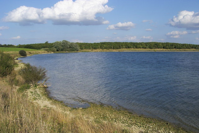
Grafham Water is an 806.3-hectare (1,992-acre) biological Site of Special Scientific Interest (SSSI) north of Perry, Huntingdonshire. It was designated an SSSI in 1986. It is a reservoir with a circumference of about 16 km (10 mi), is 21 m (69 ft) deep at maximum, and is the eighth largest reservoir in England by volume and the joint third largest by area at 6.27 km2 (1,550 acres). An area of 114 ha (280 acres) at the western end is a nature reserve managed by the Wildlife Trust for Bedfordshire, Cambridgeshire and Northamptonshire.
- Category
- Photo Spots
- Location
- Cambridge, United Kingdom
- Coordinates
- 52.29810, -0.31504
- How to get there
- Google MapsApple MapsOpenStreetMap
- Wikidata
- Q5592486
What is Grafham Water?
Grafham Water is a Photo Spots place on VeroMaps. Other places close by: Shepherd's Close, Brampton Wood, Kimbolton Castle, Paxton Pits Nature Reserve.
Where is Grafham Water?
Grafham Water is in Cambridge, United Kingdom. Coordinates: 52.29810, -0.31504.
How do I get to Grafham Water?
Grafham Water is at Cambridge, United Kingdom (52.29810, -0.31504). Enter these coordinates in Google Maps, Apple Maps or OpenStreetMap for walking, cycling or driving directions.