Photo corners
Upwood Meadows
Cambridge, United Kingdom
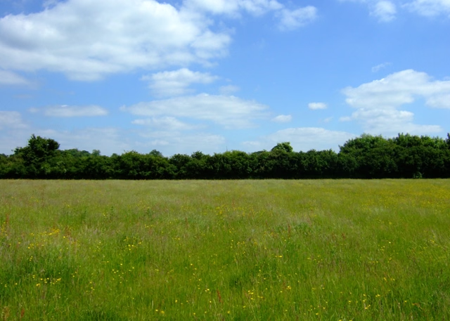
Upwood Meadows is a 6 hectare biological Site of Special Scientific Interest west of Upwood in Cambridgeshire. It is also a National Nature Reserve and a Grade I Nature Conservation Review site. It is managed by the Wildlife Trust for Bedfordshire, Cambridgeshire and Northamptonshire. The site has three fields on calcareous clay with poor drainage, a type of pasture now very rare, and was described by Derek Ratcliffe as having "an outstandingly rich and diverse flora". Other habitats are mature hedgerows, ponds and scrub. One of the fields is agriculturally unimproved, and the evidence of medieval ridge and furrow still survives. Flowering plants include pepper saxifrage and green-winged orchid. There is access by a footpath from Bentley Close in Upwood.
- Category
- Photo Spots
- Location
- Cambridge, United Kingdom
- Coordinates
- 52.42660, -0.16085
- How to get there
- Google MapsApple MapsOpenStreetMap
- Wikidata
- Q7899502
What is Upwood Meadows?
Upwood Meadows is a Photo Spots place on VeroMaps. Other places close by: Lady's Wood, Raveley Wood, Ramsey Heights nature reserve, Gamsey Wood.
Where is Upwood Meadows?
Upwood Meadows is in Cambridge, United Kingdom. Coordinates: 52.42660, -0.16085.
How do I get to Upwood Meadows?
Upwood Meadows is at Cambridge, United Kingdom (52.42660, -0.16085). Enter these coordinates in Google Maps, Apple Maps or OpenStreetMap for walking, cycling or driving directions.