Urbex & Abandoned
Grube Laurweg
Kerkrade, Germany
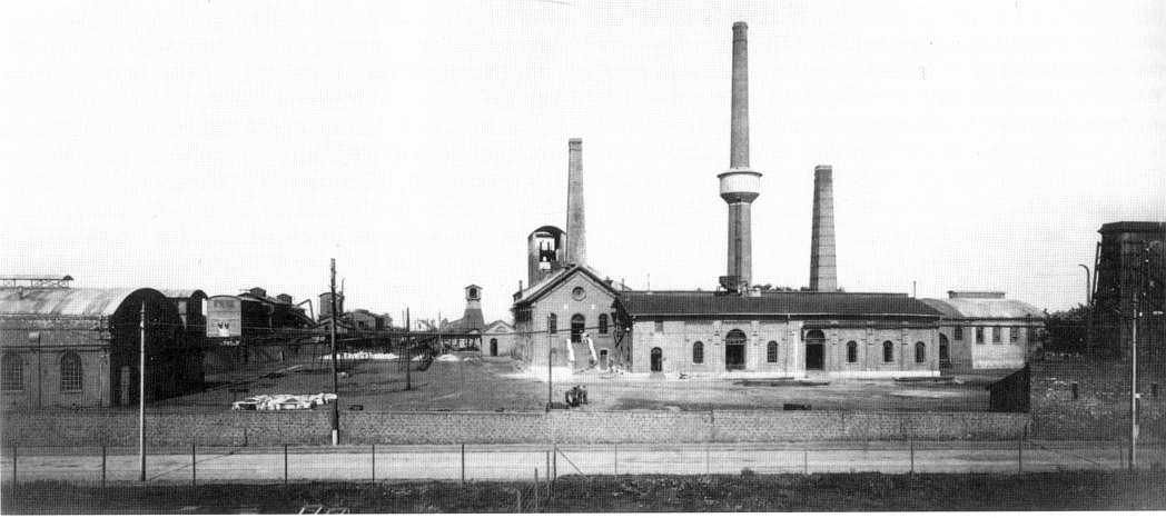
Die Grube Laurweg war ein Steinkohlenbergwerk in Kohlscheid im Aachener Revier im westlichen Nordrhein-Westfalen. Die Grube wurde zunächst von der Vereinigungsgesellschaft für Steinkohlenbau im Wurmrevier und ab 1907 vom Eschweiler Bergwerksverein EBV betrieben.
- Category
- Urbex & Abandoned
- Location
- Kerkrade, Germany
- Coordinates
- 50.83056, 6.07917
- How to get there
- Google MapsApple MapsOpenStreetMap
- Wikidata
- Q1550042
What is Grube Laurweg?
Grube Laurweg is a Urbex & Abandoned place on VeroMaps. Other places close by: Obermühle, Haus Heyden, Voccart, Schloss Schönau.
Where is Grube Laurweg?
Grube Laurweg is in Kerkrade, Germany. Coordinates: 50.83056, 6.07917.
How do I get to Grube Laurweg?
Grube Laurweg is at Kerkrade, Germany (50.83056, 6.07917). Enter these coordinates in Google Maps, Apple Maps or OpenStreetMap for walking, cycling or driving directions.