Urbex & Abandoned
Staatsmijn Wilhelmina
Kerkrade, Netherlands
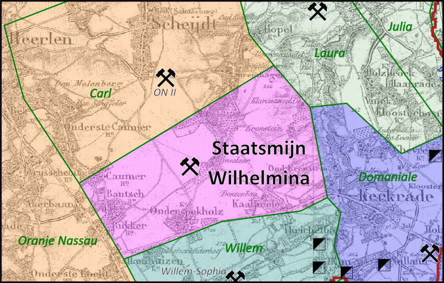
The Staatsmijn Wilhelmina was the first and the smallest of the Dutch state owned mines. It produced coal for domestic use, as its near neighbours, the Laura Mine, Oranje Nassau II, Willem-Sophia, and Domaniale Mijn. The concession of the mine was bordered by the privately owned mines mentioned above. After a few decades the mine could not be extended sideways, so the only way to keep production up was going deeper, this in contrast to the large Emma, Hendrik and Maurits mines.
- Category
- Urbex & Abandoned
- Location
- Kerkrade, Netherlands
- Coordinates
- 50.86952, 6.02926
- How to get there
- Google MapsApple MapsOpenStreetMap
- Wikidata
- Q2250352
What is Staatsmijn Wilhelmina?
Staatsmijn Wilhelmina is a Urbex & Abandoned place on VeroMaps. Other places close by: Mine worker's chapel, Mariakapel, statue of Sacred Heart of Jesus Christ, Vredeskapel.
Where is Staatsmijn Wilhelmina?
Staatsmijn Wilhelmina is in Kerkrade, Netherlands. Coordinates: 50.86952, 6.02926.
How do I get to Staatsmijn Wilhelmina?
Staatsmijn Wilhelmina is at Kerkrade, Netherlands (50.86952, 6.02926). Enter these coordinates in Google Maps, Apple Maps or OpenStreetMap for walking, cycling or driving directions.