Urbex & Abandoned
Grube Gouley
Würselen, Germany
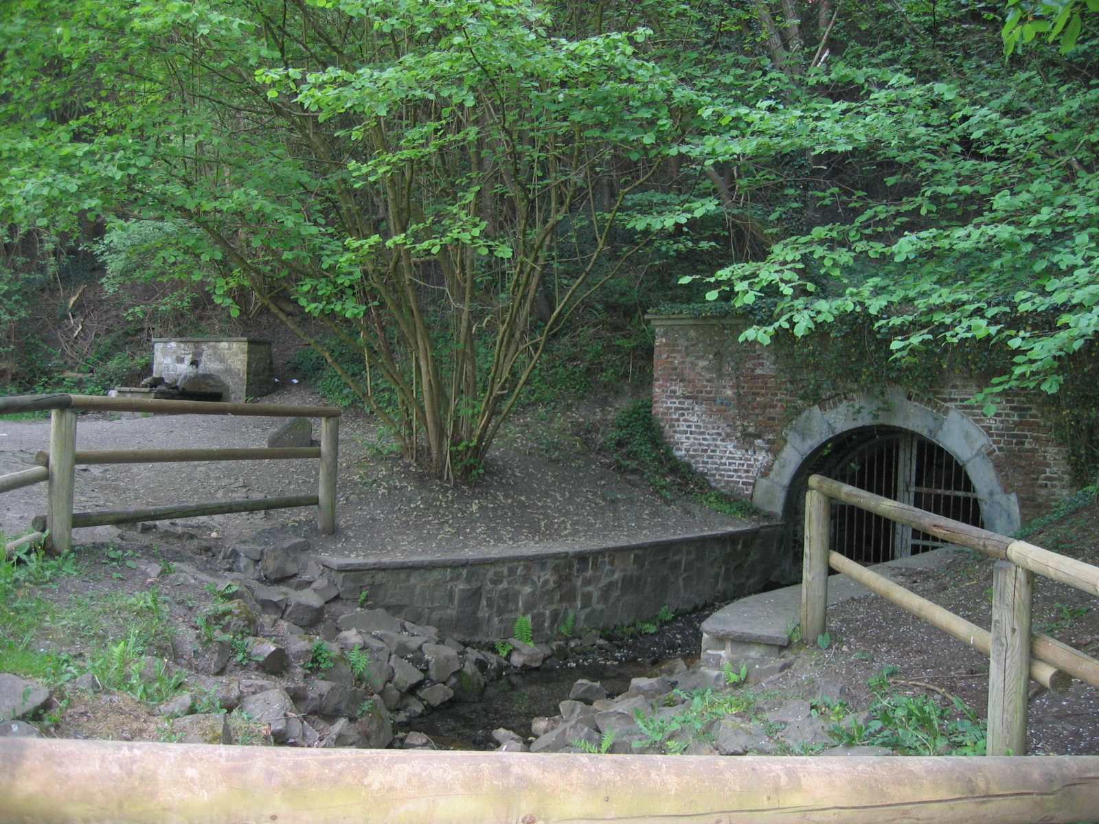
The Gouley mine was a mine in Morsbach, a district of Würselen. It was one of the oldest mines in the Aachen coal mining area and mined hard coal until 1969.
- Category
- Urbex & Abandoned
- Location
- Würselen, Germany
- Coordinates
- 50.83250, 6.11861
- How to get there
- Google MapsApple MapsOpenStreetMap
- Wikidata
- Q1549978
What is Grube Gouley?
Grube Gouley is a Urbex & Abandoned place on VeroMaps. Other places close by: Wasserturm Bardenberg, Grube Laurweg, Voccart, Haarener Tuchfabrik.
Where is Grube Gouley?
Grube Gouley is in Würselen, Germany. Coordinates: 50.83250, 6.11861.
How do I get to Grube Gouley?
Grube Gouley is at Würselen, Germany (50.83250, 6.11861). Enter these coordinates in Google Maps, Apple Maps or OpenStreetMap for walking, cycling or driving directions.