Urbex & Abandoned
Grube Atsch
Stolberg, Germany
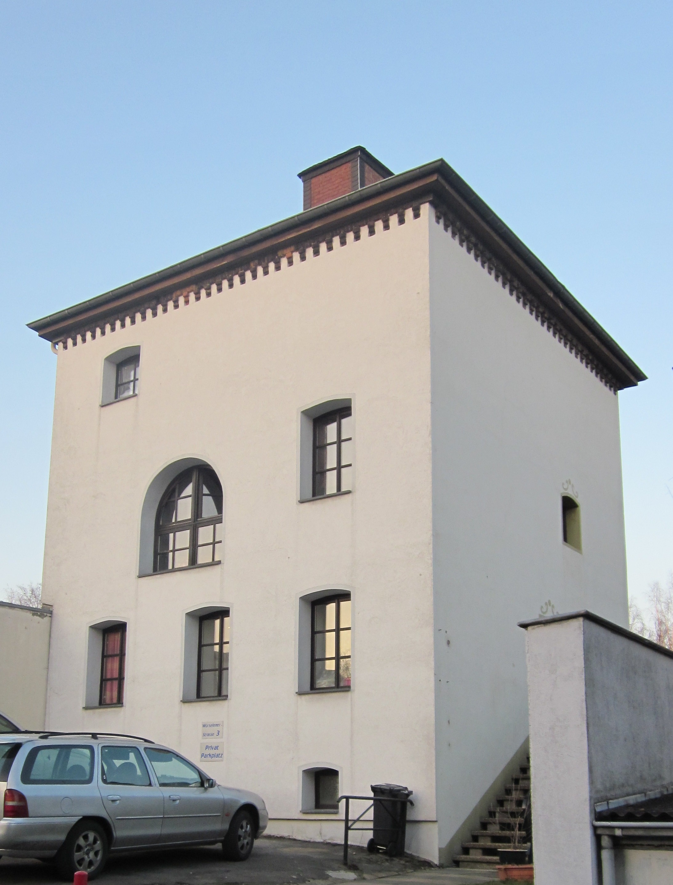
Die Grube Atsch ist ein ehemaliges Steinkohlebergwerk im westlichen Teil des Indereviers bei der Ortschaft Atsch an der Grenze zwischen Münsterkohlberg und Eschweiler Kohlberg. Das Gelände liegt heute auf dem Gebiet der Stadt Stolberg (Rhld.) in der Städteregion Aachen in Nordrhein-Westfalen.
- Category
- Urbex & Abandoned
- Location
- Stolberg, Germany
- Coordinates
- 50.78710, 6.21200
- How to get there
- Google MapsApple MapsOpenStreetMap
- Wikidata
- Q1549862
What is Grube Atsch?
Grube Atsch is a Urbex & Abandoned place on VeroMaps. Other places close by: Sender Aachen-Stolberg, Burg Stolberg, Dreibogenbrücke, Grube Ichenberg.
Where is Grube Atsch?
Grube Atsch is in Stolberg, Germany. Coordinates: 50.78710, 6.21200.
How do I get to Grube Atsch?
Grube Atsch is at Stolberg, Germany (50.78710, 6.21200). Enter these coordinates in Google Maps, Apple Maps or OpenStreetMap for walking, cycling or driving directions.