Forgotten History
Burg Stolberg
Stolberg, Germany
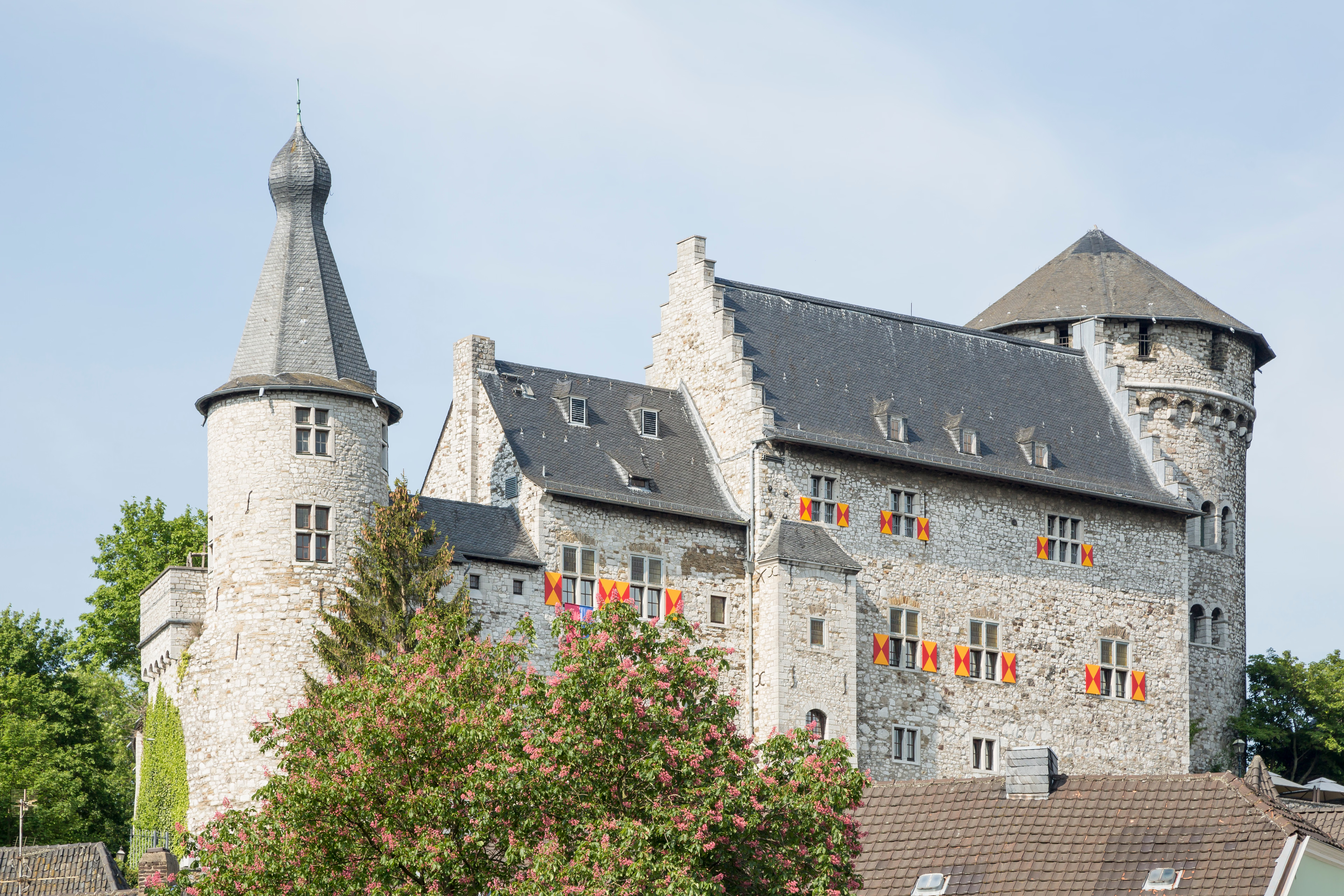
Stolberg Castle rises on a steep limestone cliff in the middle of Stolberg's old town in Stolberg (Rhineland) in the North Rhine-Westphalian city region of Aachen. It is the landmark, cradle and namesake of the city. In the 12th century, Stolberg Castle was built by the Lords of Stalburg. The Dukes of Jülich pledged the demolished complex to the Lords of Nesselrode in the middle of the 15th century in order to have it rebuilt as an open house.
- Category
- Forgotten History
- Location
- Stolberg, Germany
- Coordinates
- 50.76690, 6.23278
- How to get there
- Google MapsApple MapsOpenStreetMap
- Wikidata
- Q1014138
What is Burg Stolberg?
Burg Stolberg is a Forgotten History place on VeroMaps. Other places close by: Sender Aachen-Stolberg, Grube Atsch, Alte Dorffer Linde, Dreibogenbrücke.
Where is Burg Stolberg?
Burg Stolberg is in Stolberg, Germany. Coordinates: 50.76690, 6.23278.
How do I get to Burg Stolberg?
Burg Stolberg is at Stolberg, Germany (50.76690, 6.23278). Enter these coordinates in Google Maps, Apple Maps or OpenStreetMap for walking, cycling or driving directions.