Urbex & Abandoned
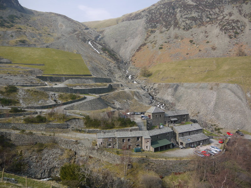
Greenside Mine
Cumbria, United Kingdom
Greenside Mine (sometimes referred to as Greenside Lead Mine) was a successful lead mine in the Lake District of England. Between 1825 and 1961 the mine produced 156,000 long tons (159,000 tonnes) of lead and 1,600,000 ounces (45 tonnes) of silver, from around 2 million tons of ore.
- Category
- Urbex & Abandoned
- Location
- Cumbria, United Kingdom
- Coordinates
- 54.54800, -2.98400
- How to get there
- Google MapsApple MapsOpenStreetMap
- Wikidata
- Q18160313
What is Greenside Mine?
Greenside Mine is a Urbex & Abandoned place on VeroMaps. Other places close by: The Travellers Rest, Barrow House, Sharrow Bay Country House, Honister Slate Mine.
Where is Greenside Mine?
Greenside Mine is in Cumbria, United Kingdom. Coordinates: 54.54800, -2.98400.
How do I get to Greenside Mine?
Greenside Mine is at Cumbria, United Kingdom (54.54800, -2.98400). Enter these coordinates in Google Maps, Apple Maps or OpenStreetMap for walking, cycling or driving directions.