Forgotten History
Penrith Castle
Penrith, United Kingdom
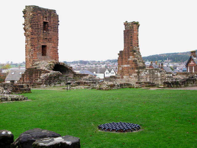
Penrith Castle er ruinen af en middelalderborg, der ligger i Penrith, i North West England få kilometer øst for Lake District National Park. Borgen blev bygget på et sted, hvor der sandsynligvis har været en romersk lejr før. Den er opført et sted imellem 1399-1470 som forsvar mod skotske plyndringstogter. Borgen drives af English Heritage, og National Heritage List for England har klassificeret den som en listed building af første grad.
- Category
- Forgotten History
- Location
- Penrith, United Kingdom
- Coordinates
- 54.66210, -2.75730
- How to get there
- Google MapsApple MapsOpenStreetMap
- Wikidata
- Q2970199
What is Penrith Castle?
Penrith Castle is a Forgotten History place on VeroMaps. Other places close by: Brougham Castle, Clifton Hall, Sharrow Bay Country House, Greenside Mine.
Where is Penrith Castle?
Penrith Castle is in Penrith, United Kingdom. Coordinates: 54.66210, -2.75730.
How do I get to Penrith Castle?
Penrith Castle is at Penrith, United Kingdom (54.66210, -2.75730). Enter these coordinates in Google Maps, Apple Maps or OpenStreetMap for walking, cycling or driving directions.