Urbex & Abandoned
Kendal Castle
Kendal, United Kingdom
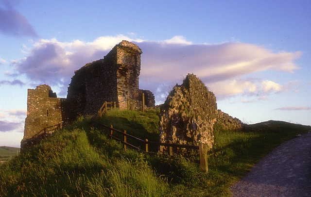
Kendal Castle is a medieval fortification to the east of the town of Kendal, Cumbria, in northern England. The castle, which is atop a glacial drumlin, was built in the 13th century as the Caput baroniae for the Barony of Kendal. By the 15th century, the Parr family owned the castle.
- Category
- Urbex & Abandoned
- Location
- Kendal, United Kingdom
- Coordinates
- 54.32490, -2.73644
- How to get there
- Google MapsApple MapsOpenStreetMap
- Wikidata
- Q6388845
What is Kendal Castle?
Kendal Castle is a Urbex & Abandoned place on VeroMaps. Other places close by: Sizergh Castle, Dallam Tower, Windermere Hotel, The Bull Hotel.
Where is Kendal Castle?
Kendal Castle is in Kendal, United Kingdom. Coordinates: 54.32490, -2.73644.
How do I get to Kendal Castle?
Kendal Castle is at Kendal, United Kingdom (54.32490, -2.73644). Enter these coordinates in Google Maps, Apple Maps or OpenStreetMap for walking, cycling or driving directions.