Forgotten History
Fort van Walem
Mechelen, Belgium
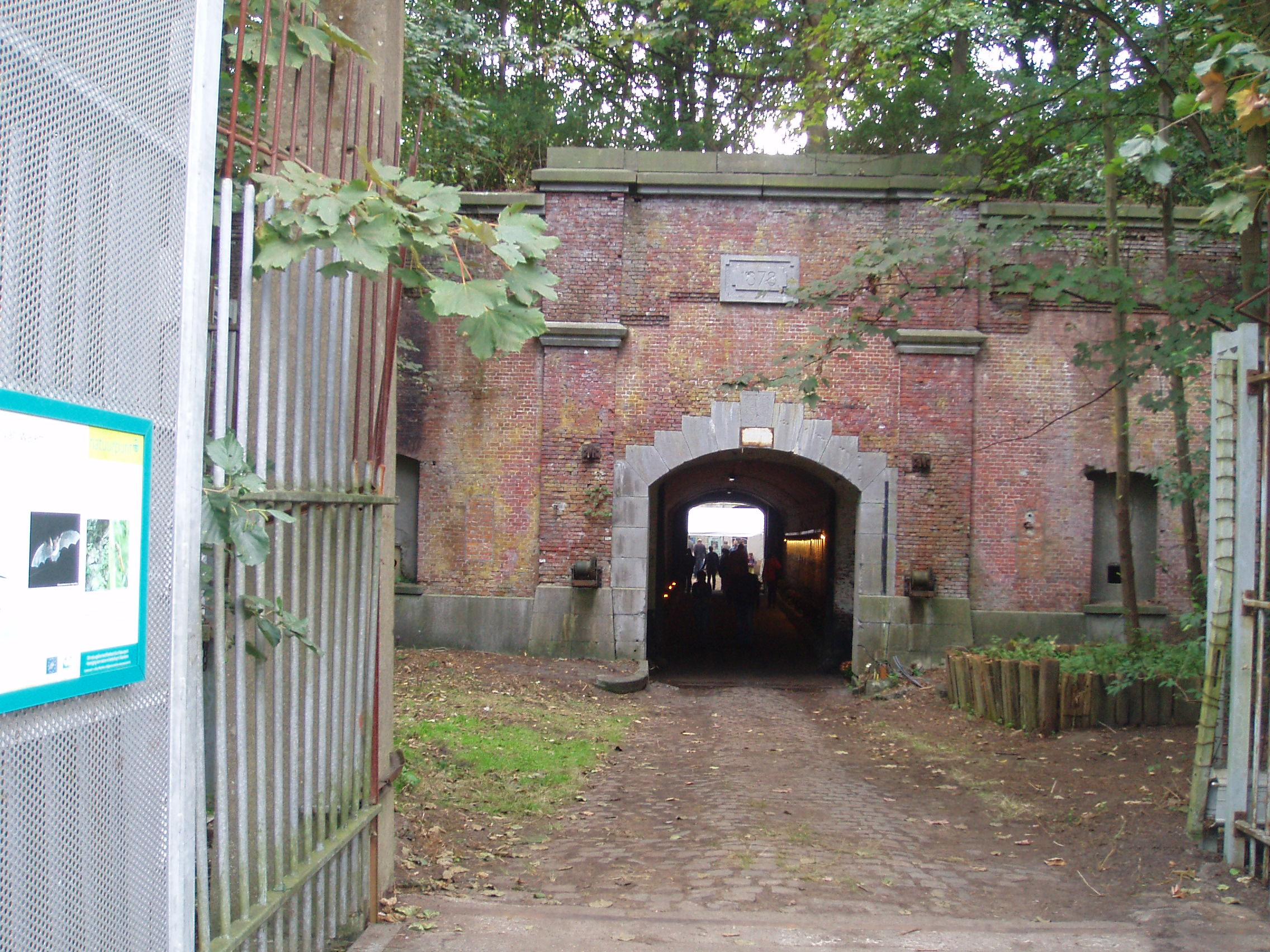
The Fort of Walem is a 19th-century fort in the Mechelen district of Walem that was part of the old fort belt around the city of Antwerp.
- Category
- Forgotten History
- Location
- Mechelen, Belgium
- Coordinates
- 51.06139, 4.46222
- How to get there
- Google MapsApple MapsOpenStreetMap
- Wikidata
- Q4731702
What is Fort van Walem?
Fort van Walem is a Forgotten History place on VeroMaps. Other places close by: Kasteel Rozenhouthof, Kasteel Zorgvliet (Sint-Katelijne-Waver), Hof ter Linden (Mechelen), Molen van Meeusen.
Where is Fort van Walem?
Fort van Walem is in Mechelen, Belgium. Coordinates: 51.06139, 4.46222.
How do I get to Fort van Walem?
Fort van Walem is at Mechelen, Belgium (51.06139, 4.46222). Enter these coordinates in Google Maps, Apple Maps or OpenStreetMap for walking, cycling or driving directions.