Forgotten History
Fort Sint-Marie
Galgestraat, Belgium
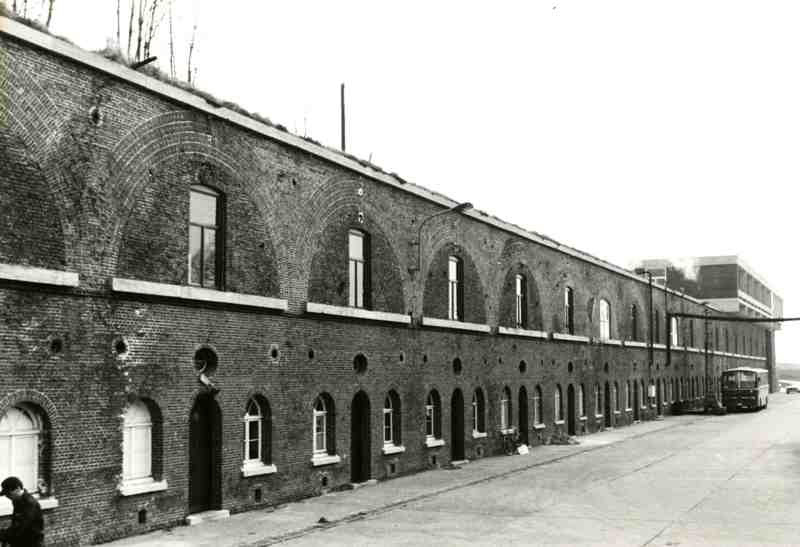
Fort Sint-Marie is a military fortification on the left bank of the Scheldt, the purpose of which was to control and, if necessary, ban shipping traffic on the Scheldt. The modern-era fort has a predecessor that was more than four centuries older, who played a leading role in the Siege of Antwerp (1584-1585).
- Category
- Forgotten History
- Location
- Galgestraat, Belgium
- Coordinates
- 51.25323, 4.29668
- How to get there
- Google MapsApple MapsOpenStreetMap
- Wikidata
- Q66085790
What is Fort Sint-Marie?
Fort Sint-Marie is a Forgotten History place on VeroMaps. Other places close by: Fort Liefkenshoek, Kasteel Bosdam, Lillo, Fort Lillo.
Where is Fort Sint-Marie?
Fort Sint-Marie is in Galgestraat, Belgium. Coordinates: 51.25323, 4.29668.
How do I get to Fort Sint-Marie?
Fort Sint-Marie is at Galgestraat, Belgium (51.25323, 4.29668). Enter these coordinates in Google Maps, Apple Maps or OpenStreetMap for walking, cycling or driving directions.