Forgotten History
Fort Liefkenshoek
Beveren, Belgium
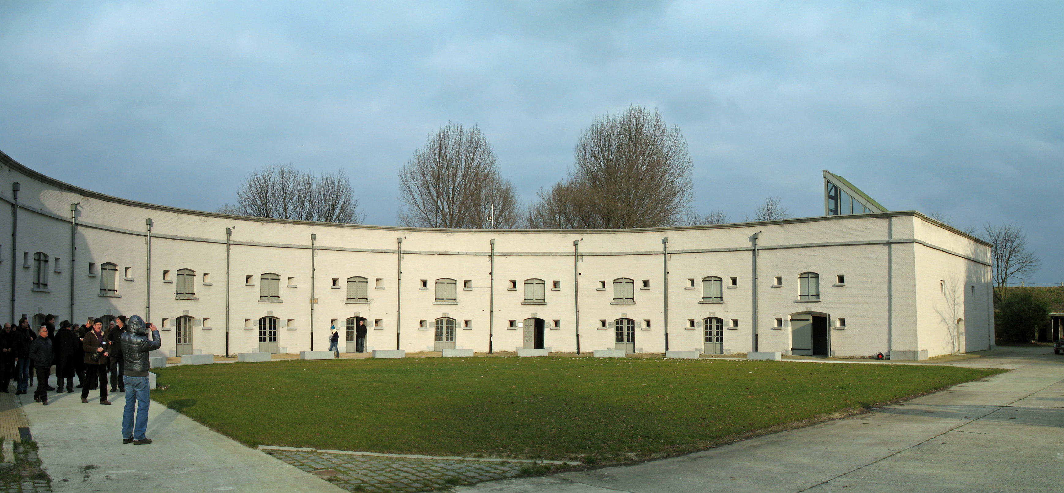
Fort Liefkenshoek is a redoubt and fortress in Kallo, a sub-municipality of Beveren-Kruibeke-Zwijndrecht in the Belgian province of East Flanders. It was a military fortress on the left bank of the Scheldt near Antwerp. In the period 1585-1786 it was an advanced post of the Republic of the United Netherlands. The fort is owned by the municipality of Beveren and has been a protected monument since 1985.
- Category
- Forgotten History
- Location
- Beveren, Belgium
- Coordinates
- 51.29444, 4.28556
- How to get there
- Google MapsApple MapsOpenStreetMap
- Wikidata
- Q2789816
What is Fort Liefkenshoek?
Fort Liefkenshoek is a Forgotten History place on VeroMaps. Other places close by: Lillo, Fort Lillo, De Kuifeend, Fort Sint-Marie.
Where is Fort Liefkenshoek?
Fort Liefkenshoek is in Beveren, Belgium. Coordinates: 51.29444, 4.28556.
How do I get to Fort Liefkenshoek?
Fort Liefkenshoek is at Beveren, Belgium (51.29444, 4.28556). Enter these coordinates in Google Maps, Apple Maps or OpenStreetMap for walking, cycling or driving directions.