Urbex & Abandoned
Oosterweel
Antwerp, Belgium
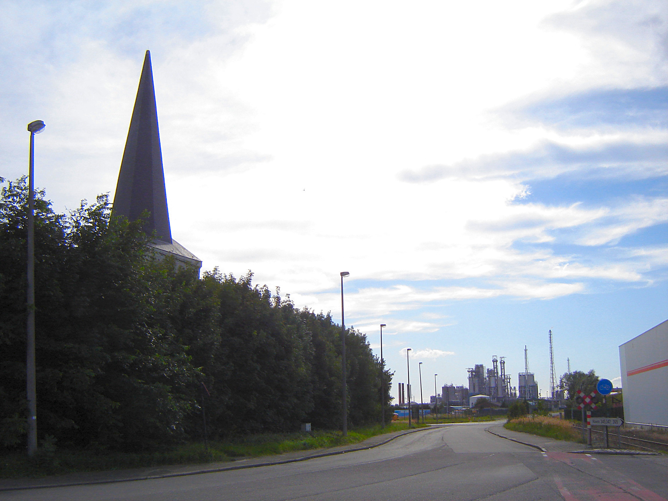
Oosterweel is een verdwenen Vlaams polderdorp ten noorden van de stad Antwerpen. Op de plaats van de vroegere gemeente bevinden zich nu de Antwerpse petroleumdokken. Tot voor de verandering was Oosterweel het laagst gelegen dorp van België.
- Category
- Urbex & Abandoned
- Location
- Antwerp, Belgium
- Coordinates
- 51.24361, 4.38528
- How to get there
- Google MapsApple MapsOpenStreetMap
- Wikidata
- Q2369070
What is Oosterweel?
Oosterweel is a Urbex & Abandoned place on VeroMaps. Other places close by: Royersbrug, Lefèbvrebrug, Siberiabrug, The Jane.
Where is Oosterweel?
Oosterweel is in Antwerp, Belgium. Coordinates: 51.24361, 4.38528.
How do I get to Oosterweel?
Oosterweel is at Antwerp, Belgium (51.24361, 4.38528). Enter these coordinates in Google Maps, Apple Maps or OpenStreetMap for walking, cycling or driving directions.