Forgotten History
Fort Pannerden
Zevenaar, Netherlands
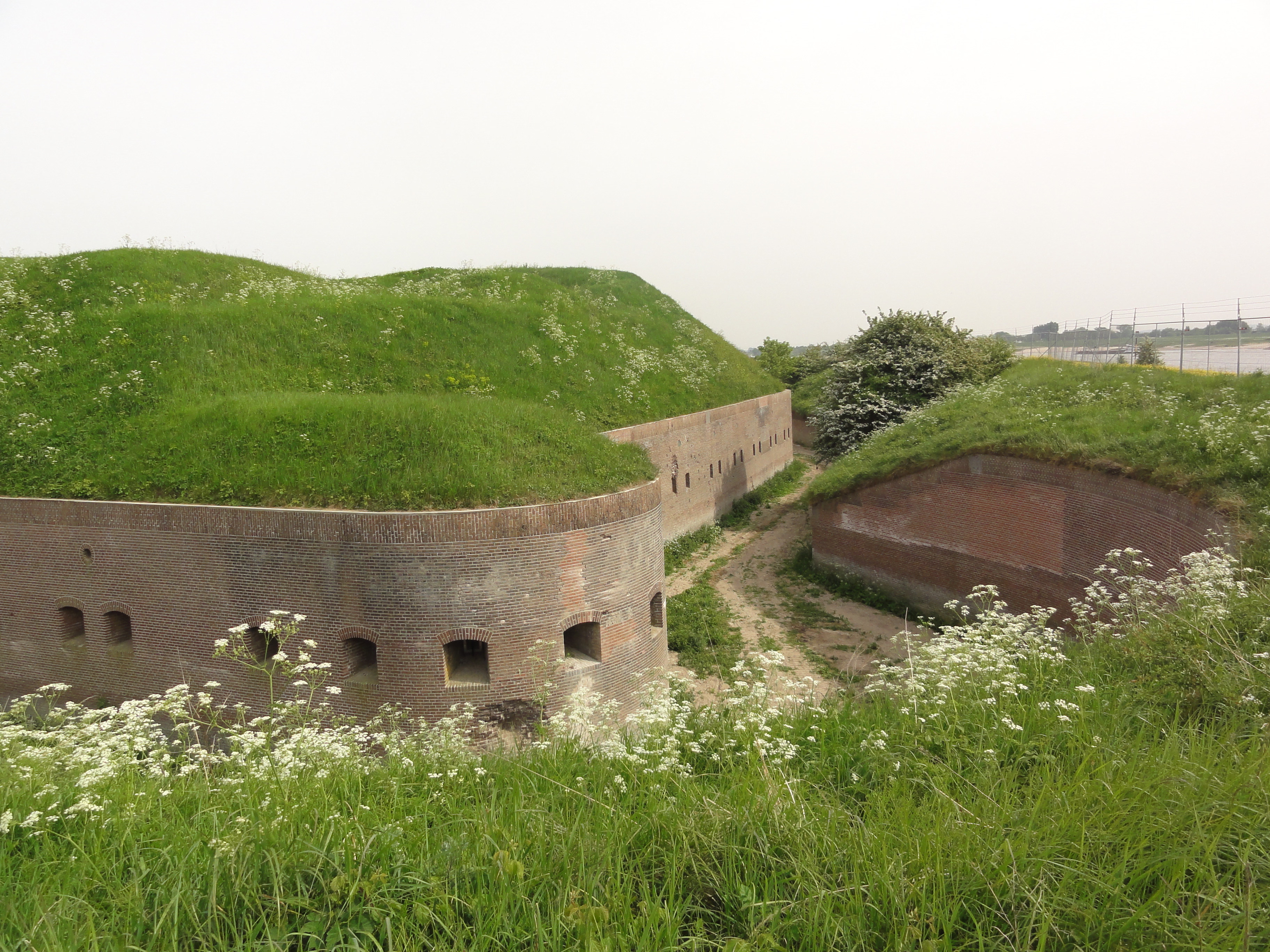
Fort Pannerden is a disused military fort situated near the village of Pannerden in the southeast of the Netherlands. In November 2006, it became the focus of national news stories because a group of squatters were evicted in a large-scale operation by police, helped by the army. Later on in the same month, it was resquatted.
- Category
- Forgotten History
- Location
- Zevenaar, Netherlands
- Address
- Waaldijk 1, Zevenaar
- Coordinates
- 51.88083, 6.02722
- How to get there
- Google MapsApple MapsOpenStreetMap
- Wikidata
- Q1438648
What is Fort Pannerden?
Fort Pannerden is a Forgotten History place on VeroMaps, on Waaldijk 1. Other places close by: Huis te Millingen, Doornenburg Castle, De Duffelt, Nederlands Hervormde Kerk.
Where is Fort Pannerden?
Fort Pannerden is in Zevenaar, Netherlands. Coordinates: 51.88083, 6.02722.
How do I get to Fort Pannerden?
Fort Pannerden is at Waaldijk 1, Zevenaar, Netherlands (51.88083, 6.02722). Enter these coordinates in Google Maps, Apple Maps or OpenStreetMap for walking, cycling or driving directions.