Forgotten History
Waede
Lingewaard, Netherlands
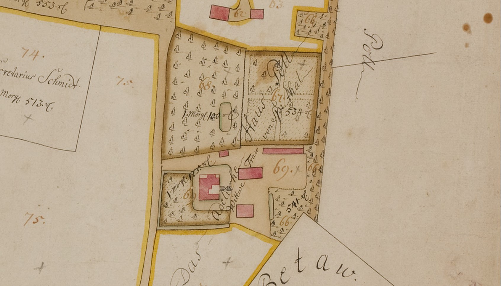
De Waede castle (also known as Waey or later De Poll) was a medieval castle in Huissen, Gelderland, the Netherlands. It was built by the Counts of Cleves circa 1240 to control passage on the river Rhine, where they imposed a toll. This strengthened Cleves’ influence in the region of Huissen and Angeren.
- Category
- Forgotten History
- Location
- Lingewaard, Netherlands
- Coordinates
- 51.92244, 5.93967
- How to get there
- Google MapsApple MapsOpenStreetMap
- Wikidata
- Q114986911
What is Waede?
Waede is a Forgotten History place on VeroMaps. Other places close by: Zandse Kerk, Diogenes met de lamp, Kapel op De Heuvel, Huis Loowaard.
Where is Waede?
Waede is in Lingewaard, Netherlands. Coordinates: 51.92244, 5.93967.
How do I get to Waede?
Waede is at Lingewaard, Netherlands (51.92244, 5.93967). Enter these coordinates in Google Maps, Apple Maps or OpenStreetMap for walking, cycling or driving directions.