Forgotten History
Enghuizen
Zevenaar, Netherlands
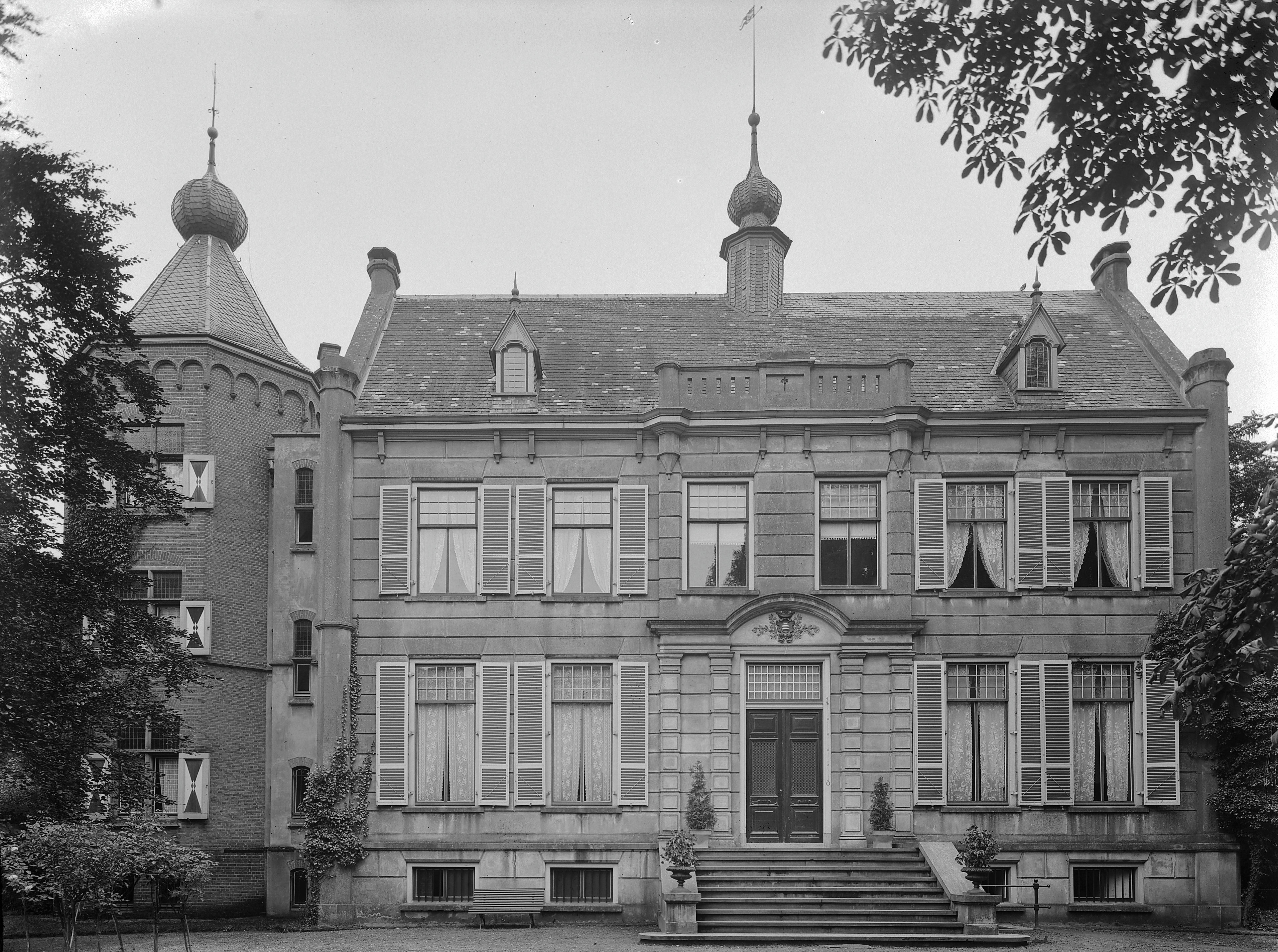
Enghuizen was a country house in the municipality of Zevenaar. It was located southeast of the city, outside the city canal on the current Kerkstraat. In the 18th century it covered 33 hectares, including goods in Oud-Zevenaar and Duiven.
- Category
- Forgotten History
- Location
- Zevenaar, Netherlands
- Coordinates
- 51.92430, 6.07678
- How to get there
- Google MapsApple MapsOpenStreetMap
- Wikidata
- Q13577372
What is Enghuizen?
Enghuizen is a Forgotten History place on VeroMaps. Other places close by: Fergusonbrug, De Hoop, Oud-Zevenaar, De Korenbloem, Fort Pannerden.
Where is Enghuizen?
Enghuizen is in Zevenaar, Netherlands. Coordinates: 51.92430, 6.07678.
How do I get to Enghuizen?
Enghuizen is at Zevenaar, Netherlands (51.92430, 6.07678). Enter these coordinates in Google Maps, Apple Maps or OpenStreetMap for walking, cycling or driving directions.