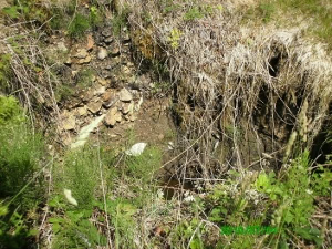
Urbex & Abandoned
Annaglogh Lead Mines
County Monaghan, Ireland
Annaglogh was one of the larger lead mines in the Clontibret area of County Monaghan, Ireland. Annaglogh Mine is shown on the 1856 2nd edition OS map.
- Category
- Urbex & Abandoned
- Location
- County Monaghan, Ireland
- Coordinates
- 54.18762, -6.76170
- How to get there
- Google MapsApple MapsOpenStreetMap
- Wikidata
- Q24196610
What is Annaglogh Lead Mines?
Annaglogh Lead Mines is a Urbex & Abandoned place on VeroMaps. Other places close by: Ballykeel Dolmen and Cairn, Faughart, Clochafarmore, Goward Dolmen.
Where is Annaglogh Lead Mines?
Annaglogh Lead Mines is in County Monaghan, Ireland. Coordinates: 54.18762, -6.76170.
How do I get to Annaglogh Lead Mines?
Annaglogh Lead Mines is at County Monaghan, Ireland (54.18762, -6.76170). Enter these coordinates in Google Maps, Apple Maps or OpenStreetMap for walking, cycling or driving directions.