Urbex & Abandoned
Chatterley Whitfield Colliery
City of Stoke-on-Trent, United Kingdom
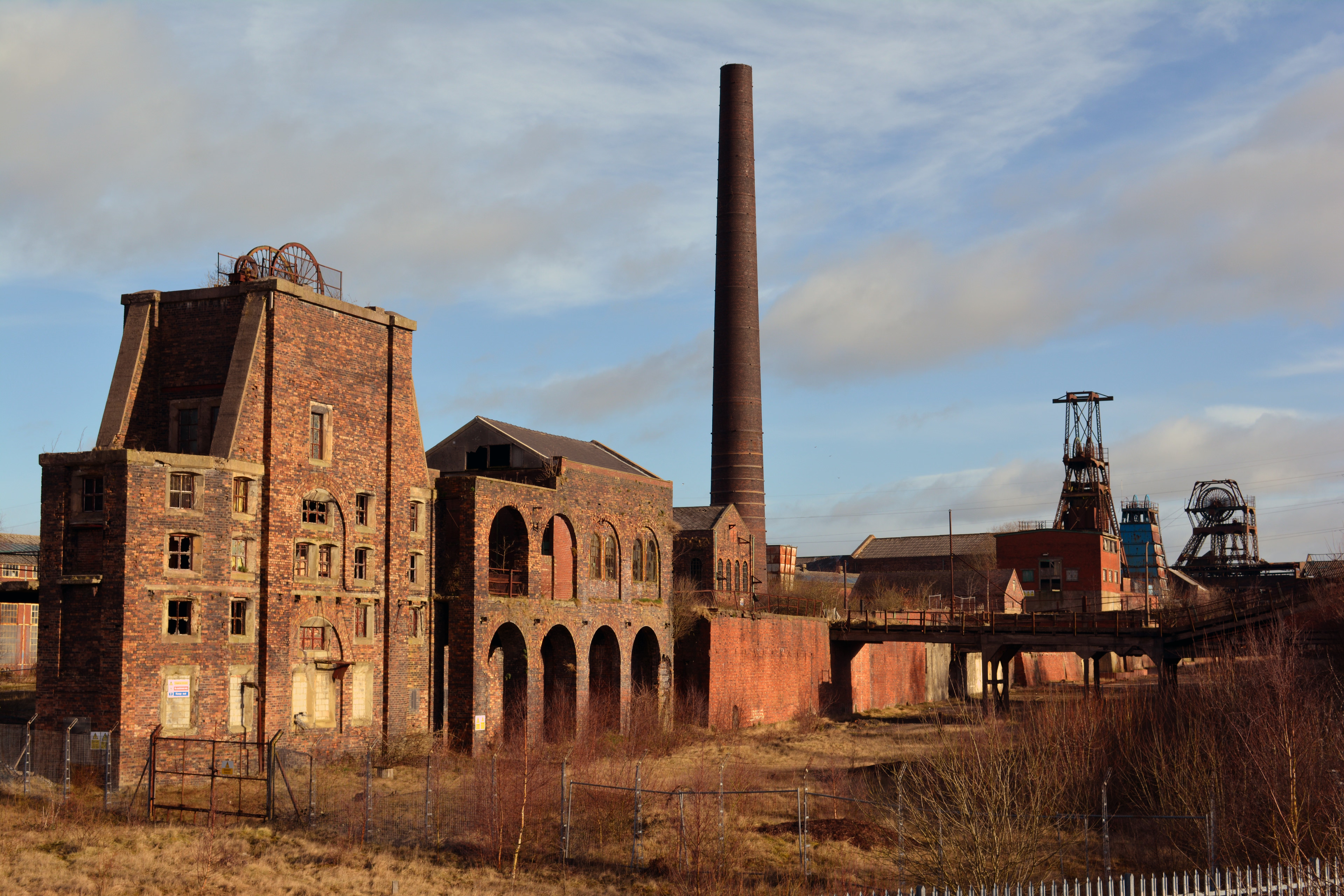
Chatterley Whitfield Colliery is a disused coal mine on the outskirts of Chell, Staffordshire in Stoke on Trent. It was the largest mine working The North Staffordshire Coalfield and was the first colliery in The UK to produce 1,000,000 tons of saleable coal in a year.
- Category
- Urbex & Abandoned
- Location
- City of Stoke-on-Trent, United Kingdom
- Coordinates
- 53.07580, -2.17530
- How to get there
- Google MapsApple MapsOpenStreetMap
- Wikidata
- Q5087936
What is Chatterley Whitfield Colliery?
Chatterley Whitfield Colliery is a Urbex & Abandoned place on VeroMaps. Other places close by: The Duke William, Keele Hall, Black Firs Wood Nature Reserve, Betley Court.
Where is Chatterley Whitfield Colliery?
Chatterley Whitfield Colliery is in City of Stoke-on-Trent, United Kingdom. Coordinates: 53.07580, -2.17530.
How do I get to Chatterley Whitfield Colliery?
Chatterley Whitfield Colliery is at City of Stoke-on-Trent, United Kingdom (53.07580, -2.17530). Enter these coordinates in Google Maps, Apple Maps or OpenStreetMap for walking, cycling or driving directions.