Night Life
Leyland Arms
Oxford, United Kingdom
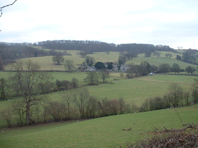
The Leyland Arms is a Grade II listed building in the community of Llanelidan near Ruthin, Denbighshire, Wales, which dates back to 1354. It was listed by Cadw (Reference Number 1354). The Leyland Arms is a country pub. It exists principally to maintain the local community and provide a social hub for the residents of the village.
- Category
- Night Life
- Location
- Oxford, United Kingdom
- Address
- B5429, Oxford
- Coordinates
- 53.04438, -3.32946
- How to get there
- Google MapsApple MapsOpenStreetMap
- Wikidata
- Q18160536
What is Leyland Arms?
Leyland Arms is a Night Life place on VeroMaps, on B5429. Other places close by: Caer Drewyn, Owain Glyndŵr's Mount, Ruthin Castle, The Morning Star.
Where is Leyland Arms?
Leyland Arms is in Oxford, United Kingdom. Coordinates: 53.04438, -3.32946.
How do I get to Leyland Arms?
Leyland Arms is at B5429, Oxford, United Kingdom (53.04438, -3.32946). Enter these coordinates in Google Maps, Apple Maps or OpenStreetMap for walking, cycling or driving directions.