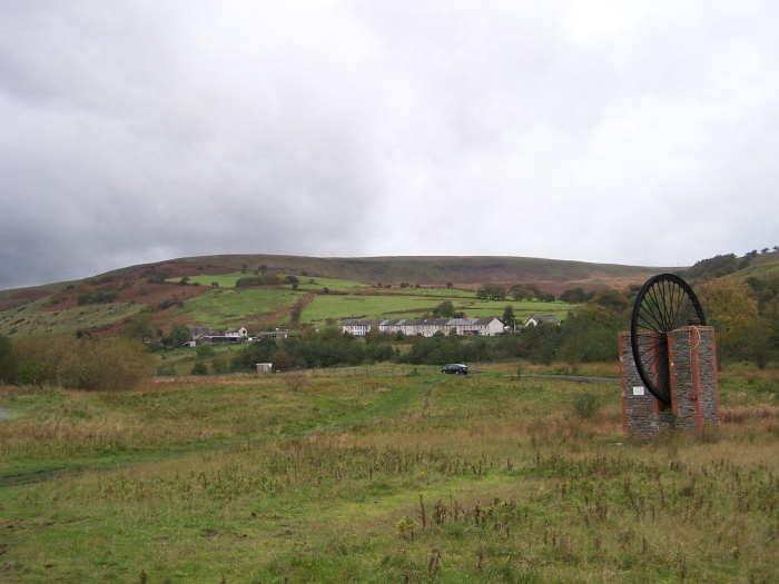
Urbex & Abandoned
Bwllfa Colliery
Rhondda Cynon Taf, United Kingdom
Bwllfa Colliery was a coal mine located in the Dare valley near Cwmdare in Rhondda Cynon Taf, South Wales. It operated from 1856 to 1957, remaining open as a ventilation shaft for Mardy Colliery until 1989.
- Category
- Urbex & Abandoned
- Location
- Rhondda Cynon Taf, United Kingdom
- Coordinates
- 51.71900, -3.49200
- How to get there
- Google MapsApple MapsOpenStreetMap
- Wikidata
- Q5003697
What is Bwllfa Colliery?
Bwllfa Colliery is a Urbex & Abandoned place on VeroMaps. Other places close by: Tower Colliery, Ferndale Colliery, Ffos-y-fran Land Reclamation Scheme, Maen Madoc.
Where is Bwllfa Colliery?
Bwllfa Colliery is in Rhondda Cynon Taf, United Kingdom. Coordinates: 51.71900, -3.49200.
How do I get to Bwllfa Colliery?
Bwllfa Colliery is at Rhondda Cynon Taf, United Kingdom (51.71900, -3.49200). Enter these coordinates in Google Maps, Apple Maps or OpenStreetMap for walking, cycling or driving directions.