Urbex & Abandoned
Navigation Colliery
Caerphilly County Borough, United Kingdom
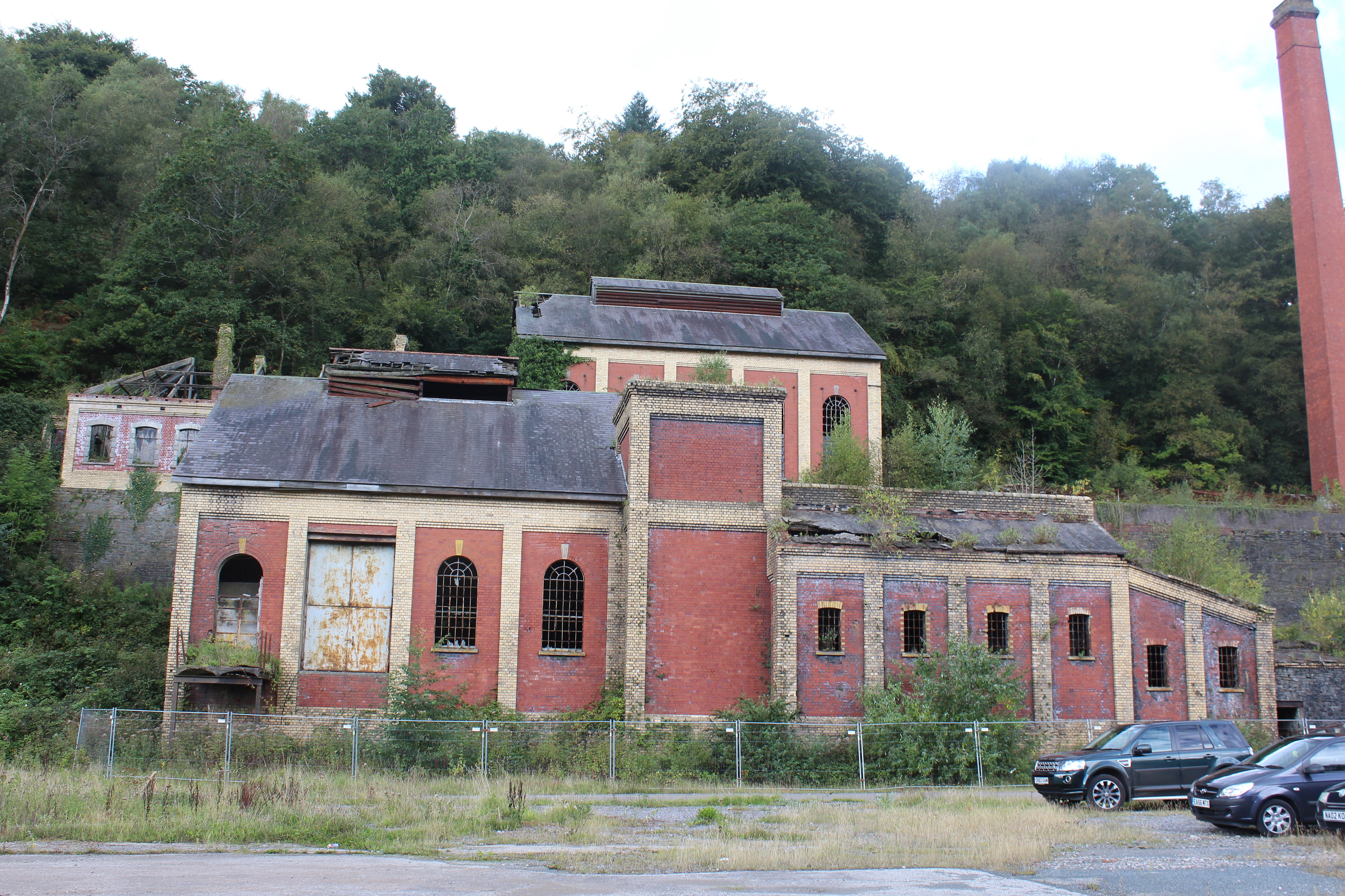
Navigation Colliery is a former coal mine in Crumlin, Caerphilly County Borough, Wales. Opened in 1911, at its peak it produced 145,000 tonnes of coal a year. The mine closed in 1967 and the site has been disused since. The Royal Commission on the Ancient and Historical Monuments of Wales (RCAHMW) considers the Navigation site to be "the best preserved colliery complex in South Wales". The complex contains thirteen listed buildings, five at Grade II*, the rest at Grade II. The site is now managed by a charitable trust, Glofa Navigation Cyf, which seeks to redevelop it for community benefit.
- Category
- Urbex & Abandoned
- Location
- Caerphilly County Borough, United Kingdom
- Coordinates
- 51.68330, -3.14264
- How to get there
- Google MapsApple MapsOpenStreetMap
- Wikidata
- Q104429134
What is Navigation Colliery?
Navigation Colliery is a Urbex & Abandoned place on VeroMaps. Other places close by: Oakdale Colliery, The Guardian Of The Valleys, Six Bells Colliery, Penallta Colliery.
Where is Navigation Colliery?
Navigation Colliery is in Caerphilly County Borough, United Kingdom. Coordinates: 51.68330, -3.14264.
How do I get to Navigation Colliery?
Navigation Colliery is at Caerphilly County Borough, United Kingdom (51.68330, -3.14264). Enter these coordinates in Google Maps, Apple Maps or OpenStreetMap for walking, cycling or driving directions.