Photo corners
Burton Mere Wetlands
Cheshire West and Chester, United Kingdom
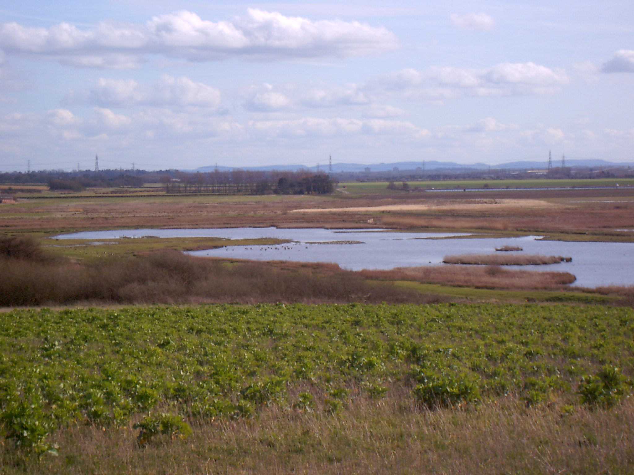
Burton Mere Wetlands (grid reference SJ304744) is a nature reserve on the Dee Estuary straddling the border between Cheshire, England and Flintshire, Wales. It is run by the Royal Society for the Protection of Birds (RSPB) and incorporates the older Inner Marsh Farm reserve. It lies near the village of Burton, about 3 kilometres (1.9 mi) south of Neston. It has all been developed by the RSPB and includes a large area of mixed wetland habitats, bluebell woodlands, and arable fields all managed to attract wildlife. The reserve is open from 9 am until 9 pm (or dusk if sooner) and the reception hide is open from 9:30 am until 5 pm. There is a charge for non-members of the RSPB.
- Category
- Photo Spots
- Location
- Cheshire West and Chester, United Kingdom
- Coordinates
- 53.26201, -3.04487
- How to get there
- Google MapsApple MapsOpenStreetMap
- Wikidata
- Q5000885
What is Burton Mere Wetlands?
Burton Mere Wetlands is a Photo Spots place on VeroMaps. Other places close by: Ness Botanic Gardens, Flint Castle, Soughton Hall, Hawarden Old Castle.
Where is Burton Mere Wetlands?
Burton Mere Wetlands is in Cheshire West and Chester, United Kingdom. Coordinates: 53.26201, -3.04487.
How do I get to Burton Mere Wetlands?
Burton Mere Wetlands is at Cheshire West and Chester, United Kingdom (53.26201, -3.04487). Enter these coordinates in Google Maps, Apple Maps or OpenStreetMap for walking, cycling or driving directions.