Forgotten History
Bunkenburg
Ahlden, Germany
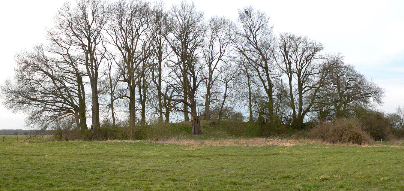
Bunkenburg was a castle built during the 13th and 14th centuries in the shape of a circular fort located on the banks of the Aller opposite Ahlden in north Germany. Only a section of the rampart, roughly 60 metres long and 3 metres high, exists today. The name of the castle is probably derived from the material, bog iron, used for its construction and known in common parlance as Bunke.
- Category
- Forgotten History
- Location
- Ahlden, Germany
- Coordinates
- 52.76150, 9.55867
- How to get there
- Google MapsApple MapsOpenStreetMap
- Wikidata
- Q182102
What is Bunkenburg?
Bunkenburg is a Forgotten History place on VeroMaps. Other places close by: Ahlden House, St. Thomas und Maria, Burg Bierde, Hodenhagen Castle.
Where is Bunkenburg?
Bunkenburg is in Ahlden, Germany. Coordinates: 52.76150, 9.55867.
How do I get to Bunkenburg?
Bunkenburg is at Ahlden, Germany (52.76150, 9.55867). Enter these coordinates in Google Maps, Apple Maps or OpenStreetMap for walking, cycling or driving directions.