Urbex & Abandoned
Ettenbostel
Osterheide, Germany
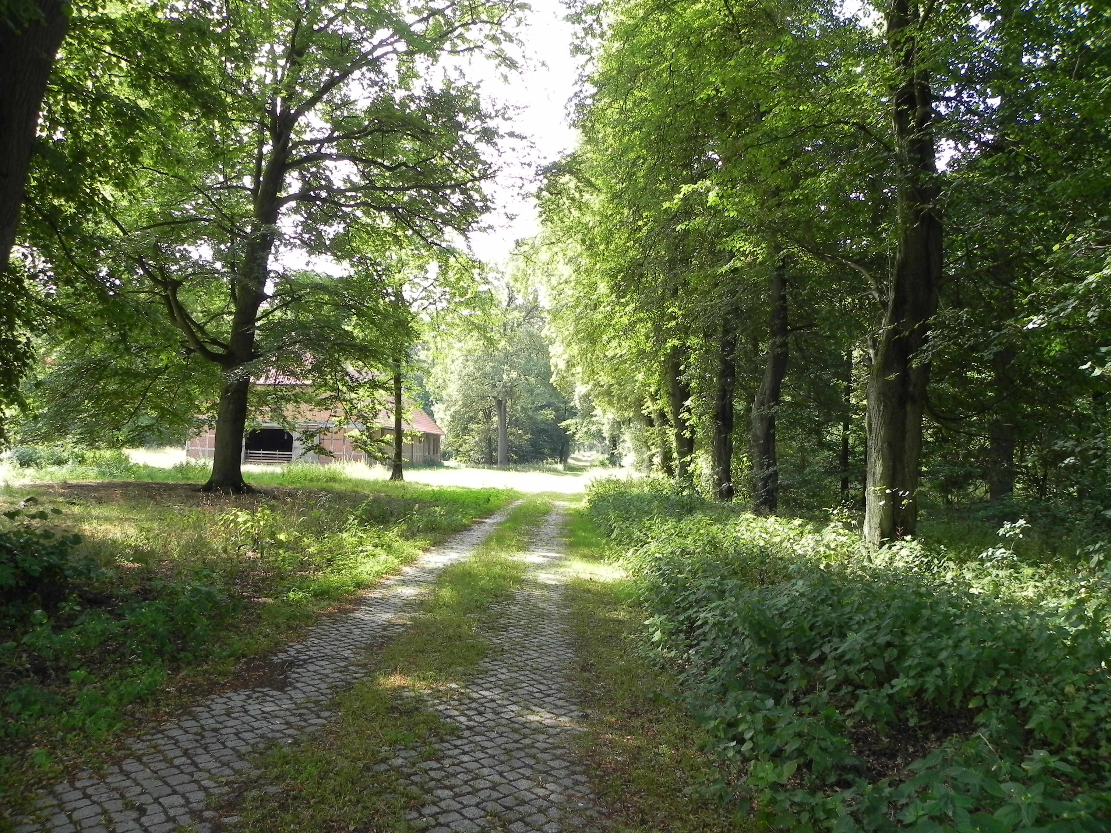
Ettenbostel was a village in the old district (Altkreis) of Fallingbostel located in the Heidmark in the north German state of Lower Saxony. The villagers were 'relocated' in 1935/36 because the German Wehrmacht wanted to create a huge military training area on the heathland and forest of the Heidmark. Today this has become the Bergen-Hohne Training Area and is the largest in Europe.
- Category
- Urbex & Abandoned
- Location
- Osterheide, Germany
- Coordinates
- 52.79280, 9.70583
- How to get there
- Google MapsApple MapsOpenStreetMap
- Wikidata
- Q590628
What is Ettenbostel?
Ettenbostel is a Urbex & Abandoned place on VeroMaps. Other places close by: Großsteingrab Krelingen, Pröbsten, Kronsnest, Sieben Steinhäuser.
Where is Ettenbostel?
Ettenbostel is in Osterheide, Germany. Coordinates: 52.79280, 9.70583.
How do I get to Ettenbostel?
Ettenbostel is at Osterheide, Germany (52.79280, 9.70583). Enter these coordinates in Google Maps, Apple Maps or OpenStreetMap for walking, cycling or driving directions.