Forgotten History
Lüningsburg
Neustadt am Rübenberge, Germany
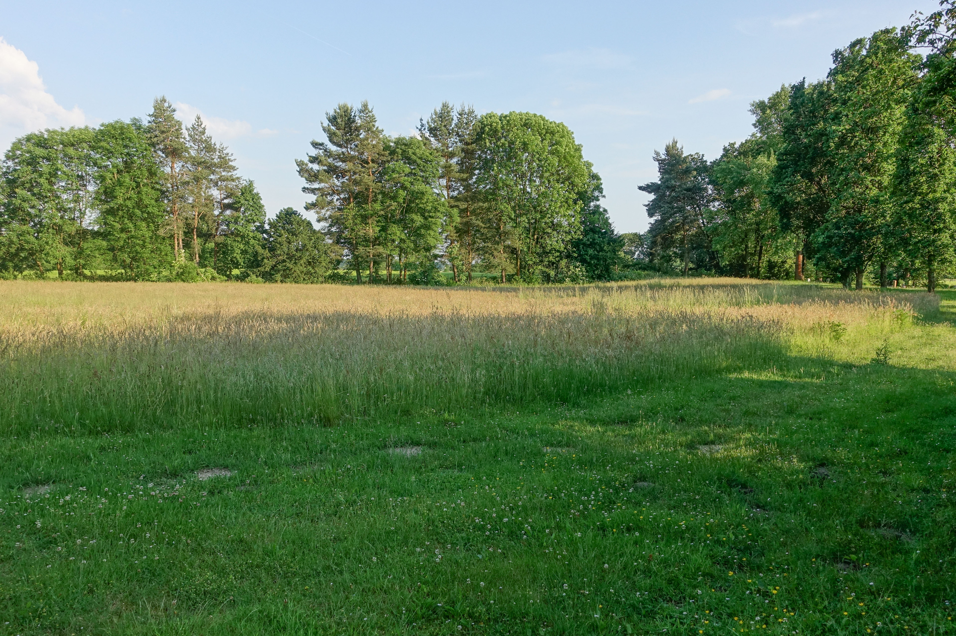
The Lüningsburg was an early medieval hill fort near Neustadt am Rübenberge in Lower Saxony. The 1.4 hectare ring wall complex used to serve as a refuge for the population. It was built on the edge of the valley above the Leine lowlands. After several archaeological investigations, the area is now used as farmland and a cemetery.
- Category
- Forgotten History
- Location
- Neustadt am Rübenberge, Germany
- Coordinates
- 52.48660, 9.47262
- How to get there
- Google MapsApple MapsOpenStreetMap
- Wikidata
- Q1440095
What is Lüningsburg?
Lüningsburg is a Forgotten History place on VeroMaps. Other places close by: Landestrost Castle, Eilvese transmitter, Horst mill, Paula.
Where is Lüningsburg?
Lüningsburg is in Neustadt am Rübenberge, Germany. Coordinates: 52.48660, 9.47262.
How do I get to Lüningsburg?
Lüningsburg is at Neustadt am Rübenberge, Germany (52.48660, 9.47262). Enter these coordinates in Google Maps, Apple Maps or OpenStreetMap for walking, cycling or driving directions.