Photo corners
Aston Bury
Aston, United Kingdom
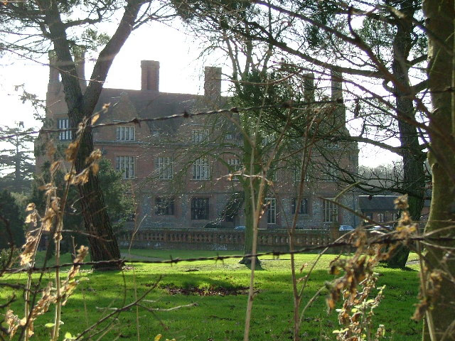
Aston Bury is a manor house near Aston, Hertfordshire, England. It is Grade I listed building. It was built in the mid 17th century, possibly by the Boteler family, restored in 1883 for Captain William Edward Freeman O'Brien and restored again in 1908-09 for Vernon A. Malcolmson. The house is now a luxury apartment block. The building consists of a long rectangular block in two storeys with cellars and attics and two large gabled stair wings at the rear. The ground floor walls are made of flint, banded with brick and with brick dressings. The first floor has timber framing, infilled and faced with brick. The roof is steep and made of red tiles.
- Category
- Photo Spots
- Location
- Aston, United Kingdom
- Coordinates
- 51.87900, -0.14800
- How to get there
- Google MapsApple MapsOpenStreetMap
- Wikidata
- Q4810948
What is Aston Bury?
Aston Bury is a Photo Spots place on VeroMaps. Other places close by: Benington Castle, The Horns Public House, Knebworth House, Hill End Pit.
Where is Aston Bury?
Aston Bury is in Aston, United Kingdom. Coordinates: 51.87900, -0.14800.
How do I get to Aston Bury?
Aston Bury is at Aston, United Kingdom (51.87900, -0.14800). Enter these coordinates in Google Maps, Apple Maps or OpenStreetMap for walking, cycling or driving directions.