Photo corners
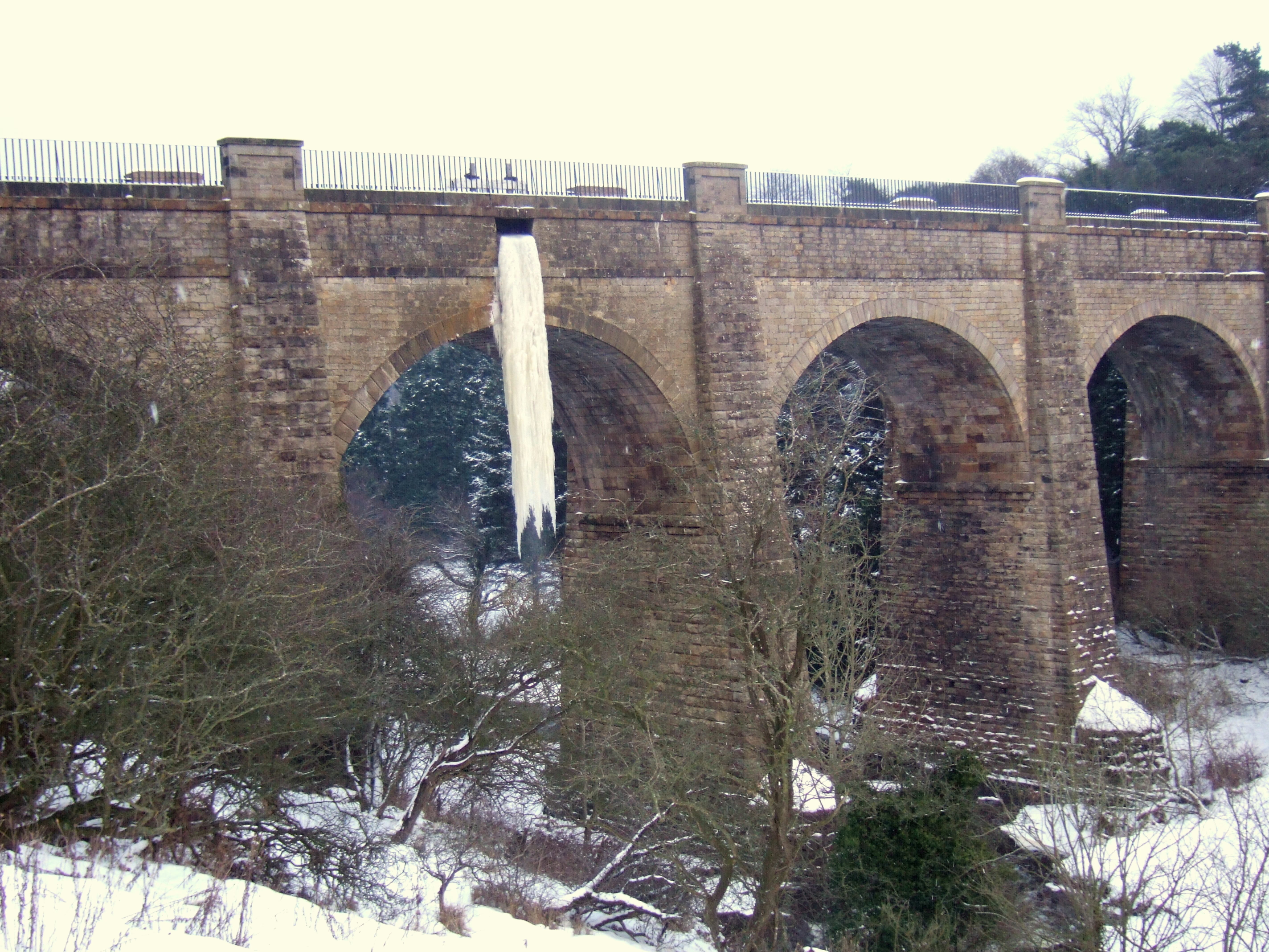
Almond Aqueduct
City of Edinburgh, United Kingdom
Der Almond Aqueduct ist eine Kanalbrücke in Schottland. Er liegt auf der Grenze der Council Areas West Lothian und Edinburgh. 1971 wurde das Bauwerk in die schottischen Denkmallisten in der höchsten Kategorie A aufgenommen. Die Bogenbrücke ist nicht mit dem nur wenige Kilometer entfernten, ebenfalls denkmalgeschützten Almondell Aqueduct zu verwechseln.
- Category
- Photo Spots
- Location
- City of Edinburgh, United Kingdom
- Coordinates
- 55.92030, -3.43398
- How to get there
- Google MapsApple MapsOpenStreetMap
- Wikidata
- Q4733885
What is Almond Aqueduct?
Almond Aqueduct is a Photo Spots place on VeroMaps. Other places close by: Newbridge Inn, Dalmahoy, Cat Stane, Murieston Castle.
Where is Almond Aqueduct?
Almond Aqueduct is in City of Edinburgh, United Kingdom. Coordinates: 55.92030, -3.43398.
How do I get to Almond Aqueduct?
Almond Aqueduct is at City of Edinburgh, United Kingdom (55.92030, -3.43398). Enter these coordinates in Google Maps, Apple Maps or OpenStreetMap for walking, cycling or driving directions.