Photo corners
Lenzie Moss
East Dunbartonshire, United Kingdom
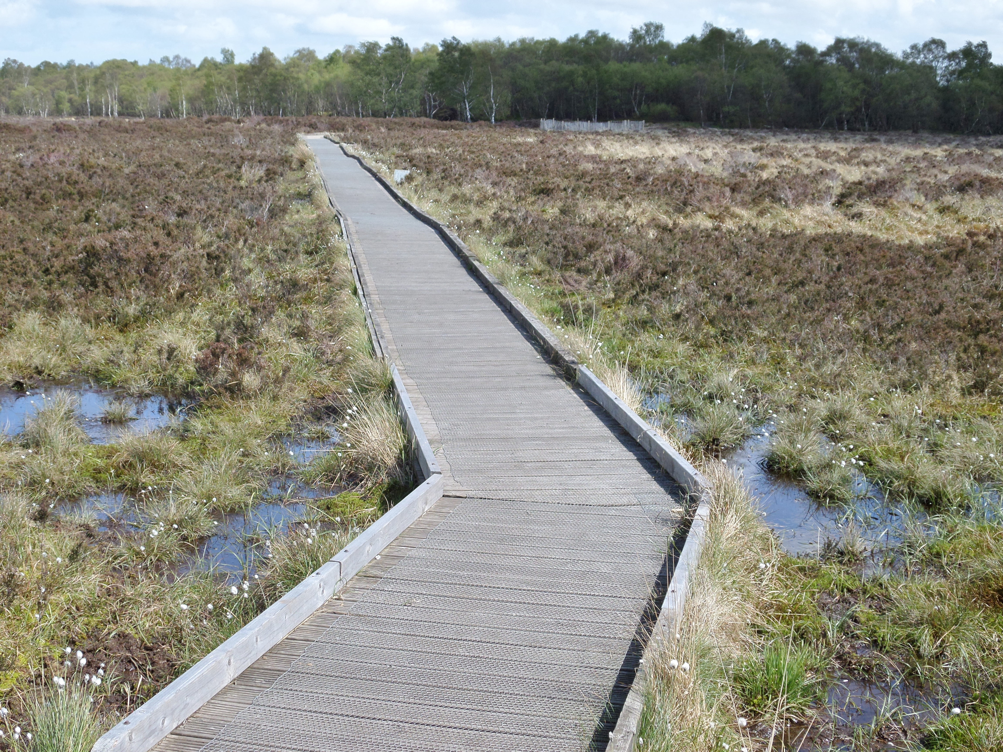
Lenzie Moss is a local nature reserve in Lenzie, East Dunbartonshire, Scotland. It is a boggy, marshy area that has not been built on. The reserve comprises lowland raised bogs, which were extensively exploited for peat, and now feature the characteristics of peat cutting, and several acres of deciduous woodland mainly made up of silver birch. The area is a sanctuary for wildlife, including rabbits, deer and foxes. The Lenzie Peat Railway was a narrow gauge railway which ran on Lenzie Moss serving the peat trade.
- Category
- Photo Spots
- Location
- East Dunbartonshire, United Kingdom
- Coordinates
- 55.92098, -4.16515
- How to get there
- Google MapsApple MapsOpenStreetMap
- Wikidata
- Q6523451
What is Lenzie Moss?
Lenzie Moss is a Photo Spots place on VeroMaps. Other places close by: Wallace's Well, Bedlay Castle, Saracen Fountain, Alexandra Park, Alexandra Parade, Glasgow, Glasgow Cathedral.
Where is Lenzie Moss?
Lenzie Moss is in East Dunbartonshire, United Kingdom. Coordinates: 55.92098, -4.16515.
How do I get to Lenzie Moss?
Lenzie Moss is at East Dunbartonshire, United Kingdom (55.92098, -4.16515). Enter these coordinates in Google Maps, Apple Maps or OpenStreetMap for walking, cycling or driving directions.