Urbex & Abandoned
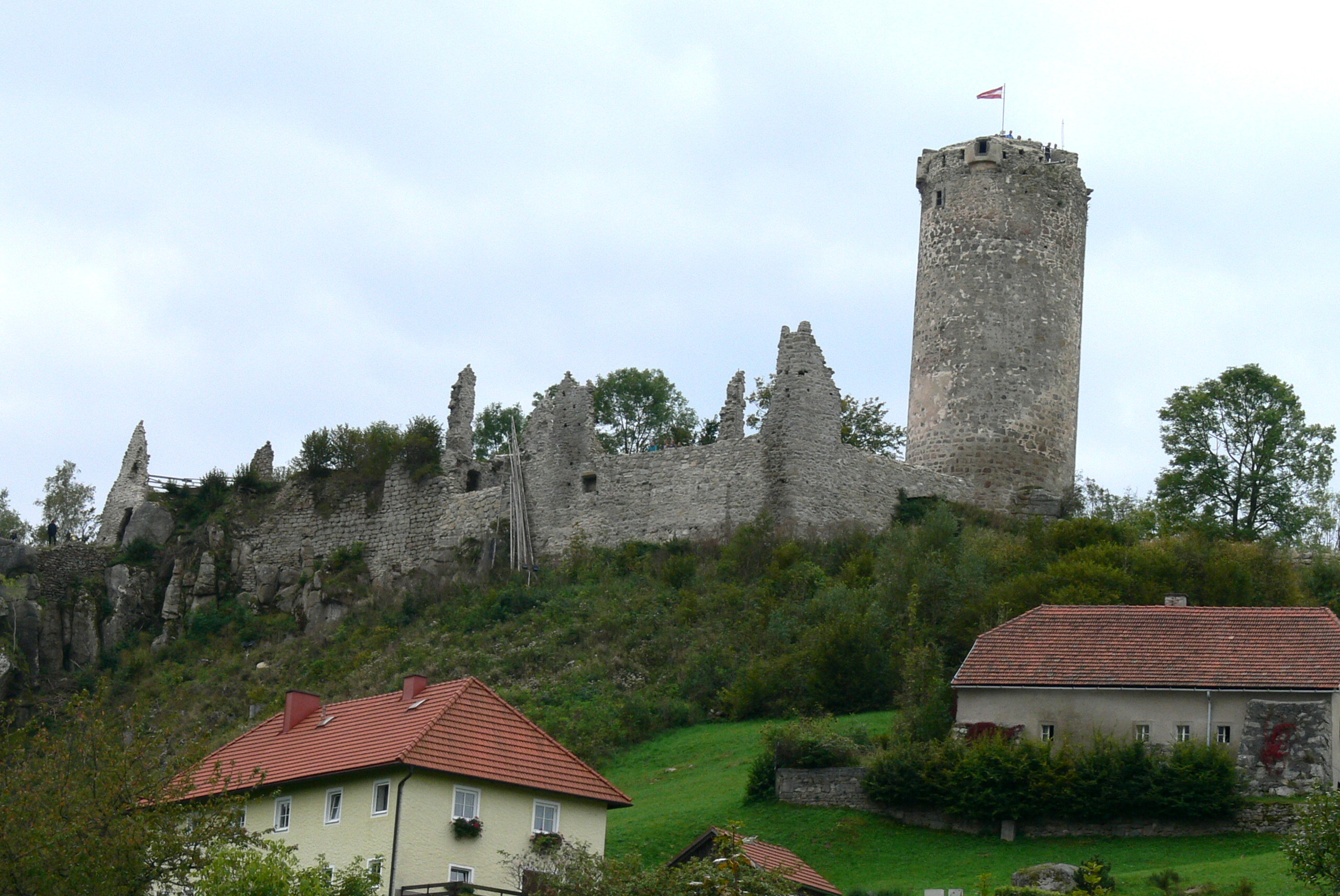
Waxenberg Castle
Austria
Die Burgruine Waxenberg ist die Ruine einer Höhenburg oberhalb des Ortszentrums von Waxenberg in der Gemeinde Oberneukirchen im Mühlviertel in Oberösterreich. Die heutige Ruine wurde vor 1300 errichtet und brannte 1756 nach einem Blitzschlag ab.
- Category
- Urbex & Abandoned
- Location
- Austria
- Address
- Waxenberg 6
- Coordinates
- 48.47519, 14.18851
- How to get there
- Google MapsApple MapsOpenStreetMap
- Wikidata
- Q1015568
What is Waxenberg Castle?
Waxenberg Castle is a Urbex & Abandoned place on VeroMaps, on Waxenberg 6. Other places close by: St.Joseph in Waxenberg, Burgruine Rotenfels, Burgruine Steinbach, Burgruine Lichtenhag.
Where is Waxenberg Castle?
Waxenberg Castle is in Austria. Coordinates: 48.47519, 14.18851.
How do I get to Waxenberg Castle?
Waxenberg Castle is at Waxenberg 6, Austria (48.47519, 14.18851). Enter these coordinates in Google Maps, Apple Maps or OpenStreetMap for walking, cycling or driving directions.