Urbex & Abandoned
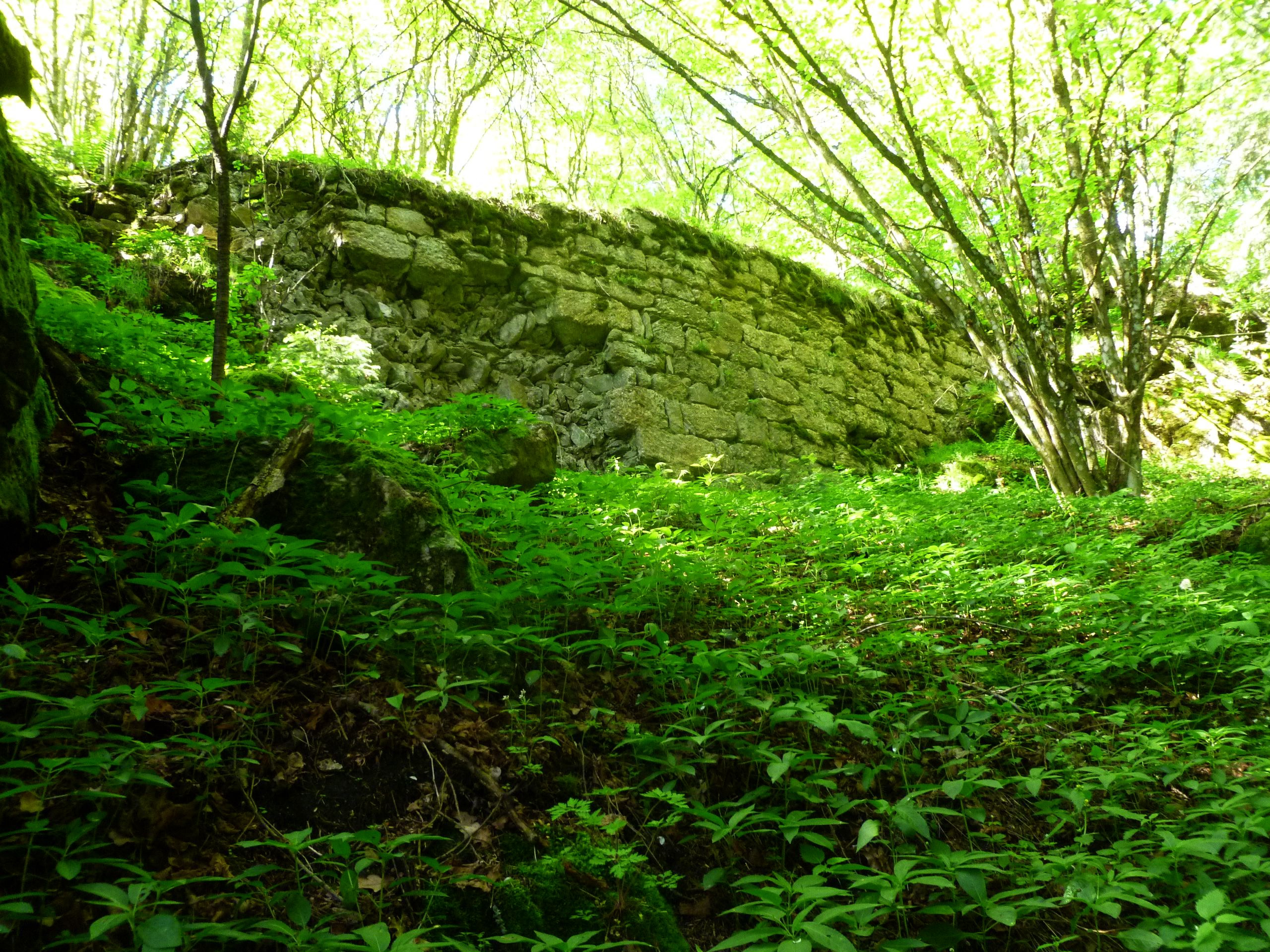
Burgruine Rotenfels
Herzogsdorf, Austria
Die Burgruine Rotenfels, auch Alt-Waxenberg genannt, ist die Ruine einer Höhenburg auf 740 m ü. A. in der Nähe von Herzogsdorf im Mühlviertel in Oberösterreich. Man erreicht das Gemäuer, wenn man von dem Bauernhof Buchholz 45 dem in den Wald führenden Weg immer geradeaus folgt nach ca. 700 m. Die Burg wurde um 1136 errichtet, nach rund 160 Jahren verlassen und verfiel im Laufe der Zeit.
- Category
- Urbex & Abandoned
- Location
- Herzogsdorf, Austria
- Coordinates
- 48.44720, 14.16880
- How to get there
- Google MapsApple MapsOpenStreetMap
- Wikidata
- Q1015489
What is Burgruine Rotenfels?
Burgruine Rotenfels is a Urbex & Abandoned place on VeroMaps. Other places close by: Waxenberg Castle, St.Joseph in Waxenberg, Burgruine Steinbach, Burgruine Lichtenhag.
Where is Burgruine Rotenfels?
Burgruine Rotenfels is in Herzogsdorf, Austria. Coordinates: 48.44720, 14.16880.
How do I get to Burgruine Rotenfels?
Burgruine Rotenfels is at Herzogsdorf, Austria (48.44720, 14.16880). Enter these coordinates in Google Maps, Apple Maps or OpenStreetMap for walking, cycling or driving directions.