Urbex & Abandoned
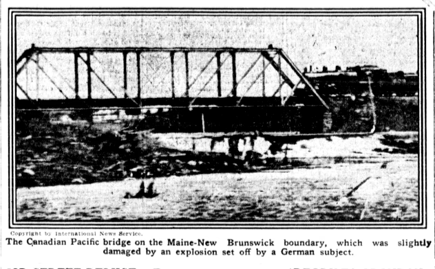
Vanceboro international bridge bombing
Maine, United States
The 1915 Vanceboro international bridge bombing was an attempt to destroy the Saint Croix–Vanceboro Railway Bridge on February 2, 1915, by Imperial German spies. This international bridge crossed the St. Croix River between the border hamlets of St. Croix in the Canadian province of New Brunswick and Vanceboro in the U.
- Category
- Urbex & Abandoned
- Location
- Maine, United States
- Coordinates
- 45.56400, -67.42750
- How to get there
- Google MapsApple MapsOpenStreetMap
- Wikidata
- Q7914074
What is Vanceboro international bridge bombing?
Vanceboro international bridge bombing is a Urbex & Abandoned place on VeroMaps. Other places close by: The Algonquin Resort, Mulholland Point Lighthouse, West Quoddy Head Light, Avery Rock Light.
Where is Vanceboro international bridge bombing?
Vanceboro international bridge bombing is in Maine, United States. Coordinates: 45.56400, -67.42750.
How do I get to Vanceboro international bridge bombing?
Vanceboro international bridge bombing is at Maine, United States (45.56400, -67.42750). Enter these coordinates in Google Maps, Apple Maps or OpenStreetMap for walking, cycling or driving directions.