Urbex & Abandoned
Tynron Doon
Dumfries and Galloway, United Kingdom
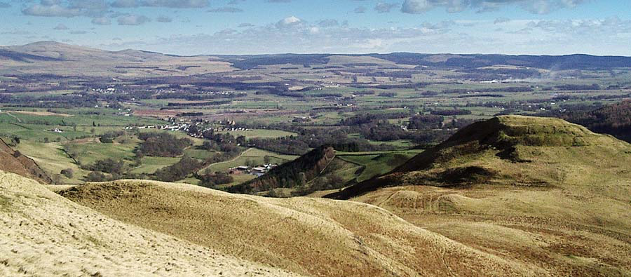
Tynron Doon is a multivallate Iron Age hill fort outside the village of Tynron in Dumfries and Galloway, Scotland. It was occupied on and off from the 1st millennium BC until the 16th century, when an L-shaped tower house stood there. Tynron Doon lies at the southern end of the Scaur hills.
- Category
- Urbex & Abandoned
- Location
- Dumfries and Galloway, United Kingdom
- Coordinates
- 55.22541, -3.85714
- How to get there
- Google MapsApple MapsOpenStreetMap
- Wikidata
- Q7860572
What is Tynron Doon?
Tynron Doon is a Urbex & Abandoned place on VeroMaps. Other places close by: Drumlanrig Castle, Morton Castle, Sanquhar Castle, The Robert the Bruce.
Where is Tynron Doon?
Tynron Doon is in Dumfries and Galloway, United Kingdom. Coordinates: 55.22541, -3.85714.
How do I get to Tynron Doon?
Tynron Doon is at Dumfries and Galloway, United Kingdom (55.22541, -3.85714). Enter these coordinates in Google Maps, Apple Maps or OpenStreetMap for walking, cycling or driving directions.