Urbex & Abandoned
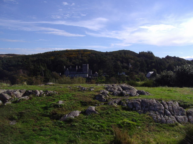
Mote of Mark
Dumfries and Galloway, United Kingdom
The Mote of Mark is a granite hill rising some 45 metres (148 ft) above the Rough Firth near the outlet of the Urr Water, near the village of Rockcliffe. It was the site of a vitrified fort during the Early Middle Ages, with about one third of an acre of the summit enclosed by a rampart of timber and stone.
- Category
- Urbex & Abandoned
- Location
- Dumfries and Galloway, United Kingdom
- Coordinates
- 54.86767, -3.80123
- How to get there
- Google MapsApple MapsOpenStreetMap
- Wikidata
- Q17124812
What is Mote of Mark?
Mote of Mark is a Urbex & Abandoned place on VeroMaps. Other places close by: Orchardton Tower, Buittle Castle, Auchenskeoch Castle, Southerness lighthouse.
Where is Mote of Mark?
Mote of Mark is in Dumfries and Galloway, United Kingdom. Coordinates: 54.86767, -3.80123.
How do I get to Mote of Mark?
Mote of Mark is at Dumfries and Galloway, United Kingdom (54.86767, -3.80123). Enter these coordinates in Google Maps, Apple Maps or OpenStreetMap for walking, cycling or driving directions.