Forgotten History
Trim Castle
Trim, Ireland
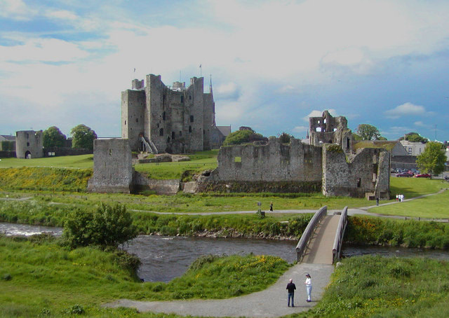
Trim Castle (Irish: Caisleán Bhaile Átha Troim) is a castle on the south bank of the River Boyne in Trim, County Meath, Ireland, with an area of 30,000 m2. Over a period of 30 years, it was built by Hugh de Lacy and his son Walter as the caput of the Lordship of Meath. The Irish Government currently own and are in charge of the care of the castle, through the state agency The Office of Public Works (OPW). The castle is on the List of National Monuments in County Meath.
- Category
- Forgotten History
- Location
- Trim, Ireland
- Coordinates
- 53.55434, -6.78976
- How to get there
- Google MapsApple MapsOpenStreetMap
- Wikidata
- Q2165568
What is Trim Castle?
Trim Castle is a Forgotten History place on VeroMaps. Other places close by: Dunderry Lodge, Lia Fáil, Tara Mine, Nugent Castle.
Where is Trim Castle?
Trim Castle is in Trim, Ireland. Coordinates: 53.55434, -6.78976.
How do I get to Trim Castle?
Trim Castle is at Trim, Ireland (53.55434, -6.78976). Enter these coordinates in Google Maps, Apple Maps or OpenStreetMap for walking, cycling or driving directions.