Photo corners
Træna Lighthouse
Husoya, Norway
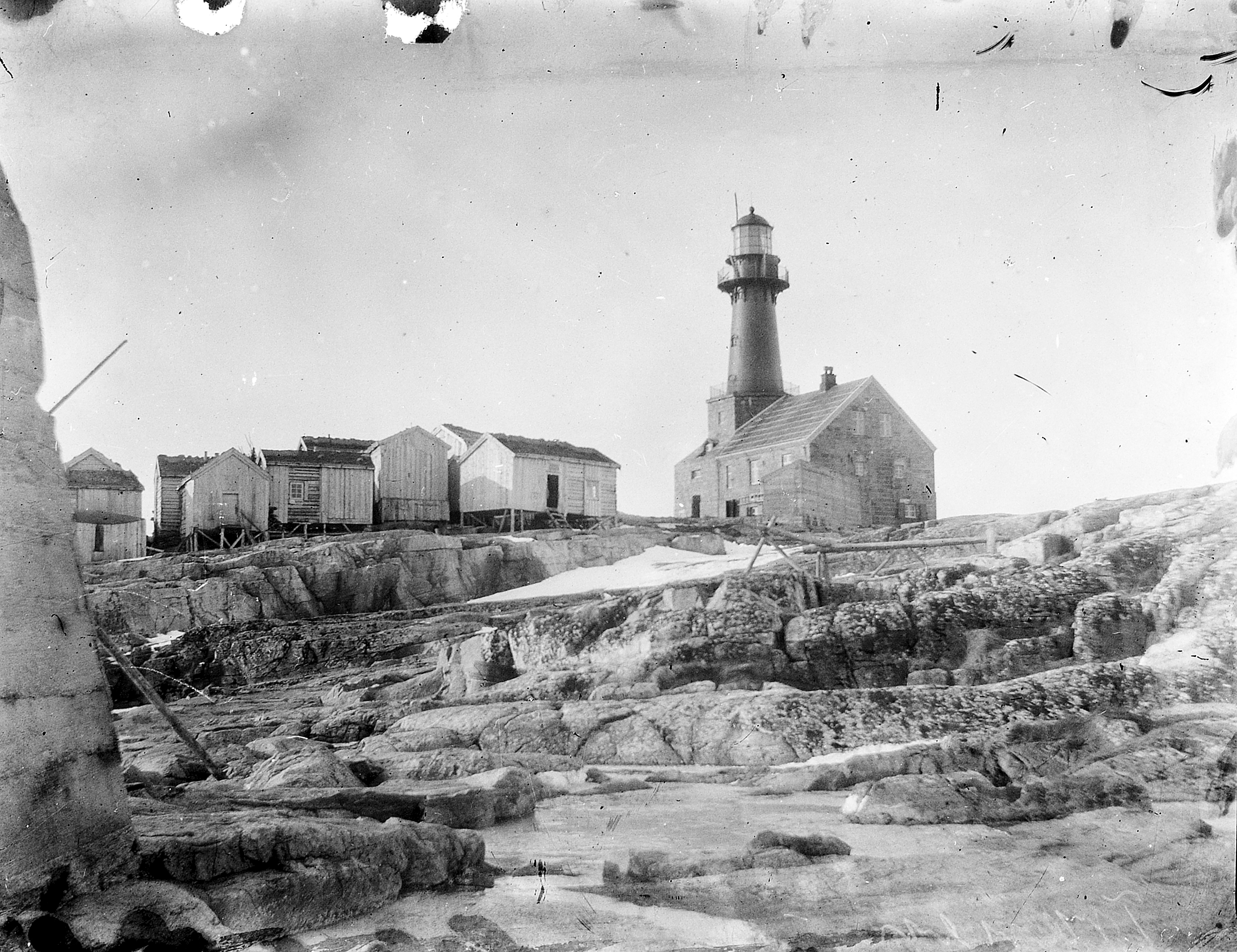
Træna Lighthouse (Norwegian: Træna fyr) is a coastal lighthouse in Træna Municipality in Nordland county, Norway. It is located on the island of Sørholmen in the Trænfjorden, about 10 kilometres (6.2 mi) southwest of the main island of Husøya and about 17 kilometres (11 mi) west of the island village of Lovund in Lurøy Municipality. The lighthouse was built in 1877 and automated in 1974. It has a granite foundation with an 18-metre (59 ft) tall red cast iron tower. The light sits at an elevation of 36.8 metres (121 ft) above sea level. The 88,000-candela light can be seen for about 12.2 nmi (22.6 km; 14.0 mi). The light emits one white flash every 15 seconds.
- Category
- Photo Spots
- Location
- Husoya, Norway
- Coordinates
- 66.43060, 11.96810
- How to get there
- Google MapsApple MapsOpenStreetMap
- Wikidata
- Q7849129
What is Træna Lighthouse?
Træna Lighthouse is a Photo Spots place on VeroMaps. Other places close by: Åsvær Lighthouse, Myken Lighthouse, Ytterholmen Lighthouse, Kalsholmen Lighthouse.
Where is Træna Lighthouse?
Træna Lighthouse is in Husoya, Norway. Coordinates: 66.43060, 11.96810.
How do I get to Træna Lighthouse?
Træna Lighthouse is at Husoya, Norway (66.43060, 11.96810). Enter these coordinates in Google Maps, Apple Maps or OpenStreetMap for walking, cycling or driving directions.