Urbex & Abandoned
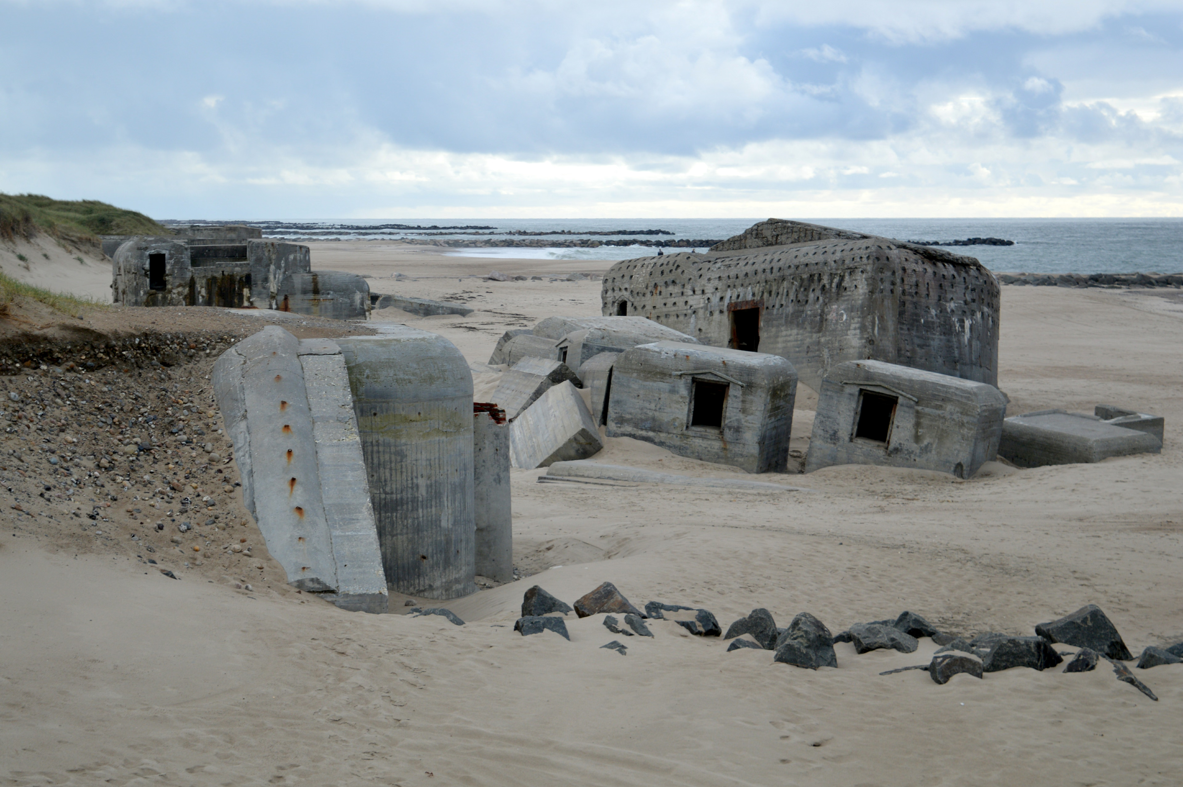
Thyborøn Fortress
Thyboron, Denmark
Die Festung Thyborøn bildete während des Zweiten Weltkriegs einen über 100 Bunker umfassenden Teilabschnitt des Atlantikwalls an der Westküste Dänemarks. Die Festung gilt als eine der größten und wichtigsten Bunkeranlagen der dänischen Westküste.
- Category
- Urbex & Abandoned
- Location
- Thyboron, Denmark
- Coordinates
- 56.69490, 8.19790
- How to get there
- Google MapsApple MapsOpenStreetMap
- Wikidata
- Q110961969
What is Thyborøn Fortress?
Thyborøn Fortress is a Urbex & Abandoned place on VeroMaps. Other places close by: Lodbjerg Lighthouse, Bovbjerg Lighthouse, Det gamle vandtårn, Spøttrup Borg.
Where is Thyborøn Fortress?
Thyborøn Fortress is in Thyboron, Denmark. Coordinates: 56.69490, 8.19790.
How do I get to Thyborøn Fortress?
Thyborøn Fortress is at Thyboron, Denmark (56.69490, 8.19790). Enter these coordinates in Google Maps, Apple Maps or OpenStreetMap for walking, cycling or driving directions.